EN
Taxi Colomèrs
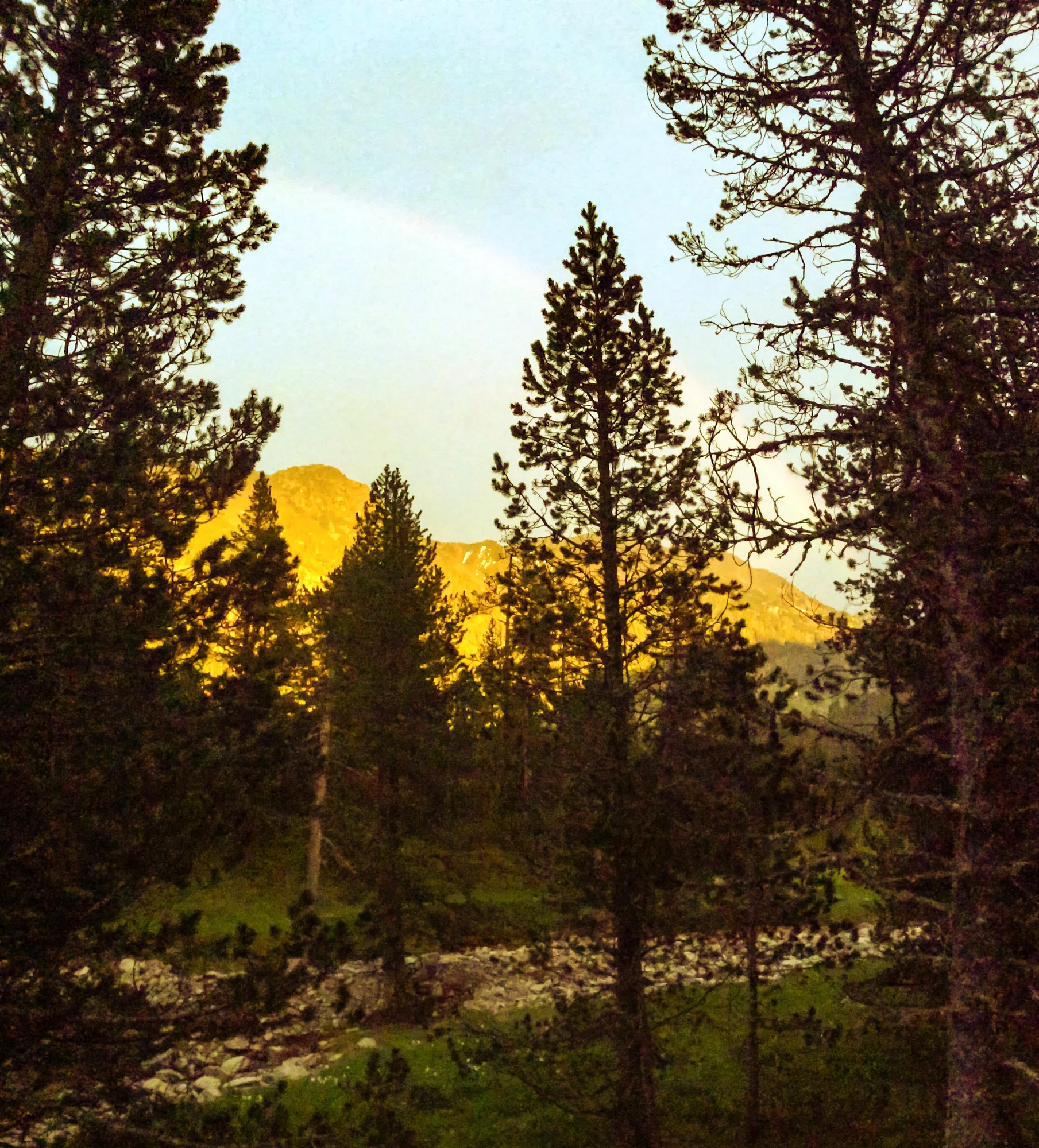
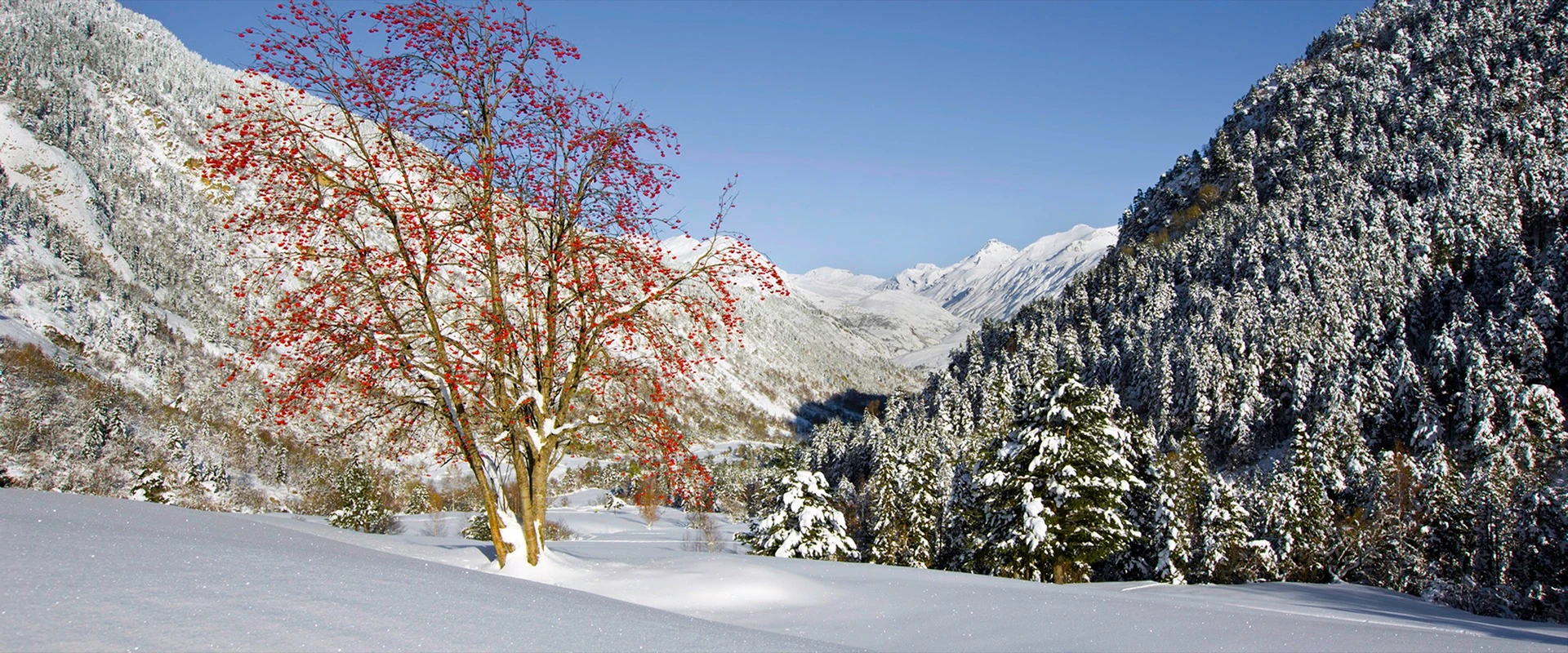
Tree with red leaves after the first autumn snowfall on the way to Banhs de Tredòs, Aiguamòg valley

BANHS DE TREDÒS · GUIDE TO THE VALLEY

The mountains start here.

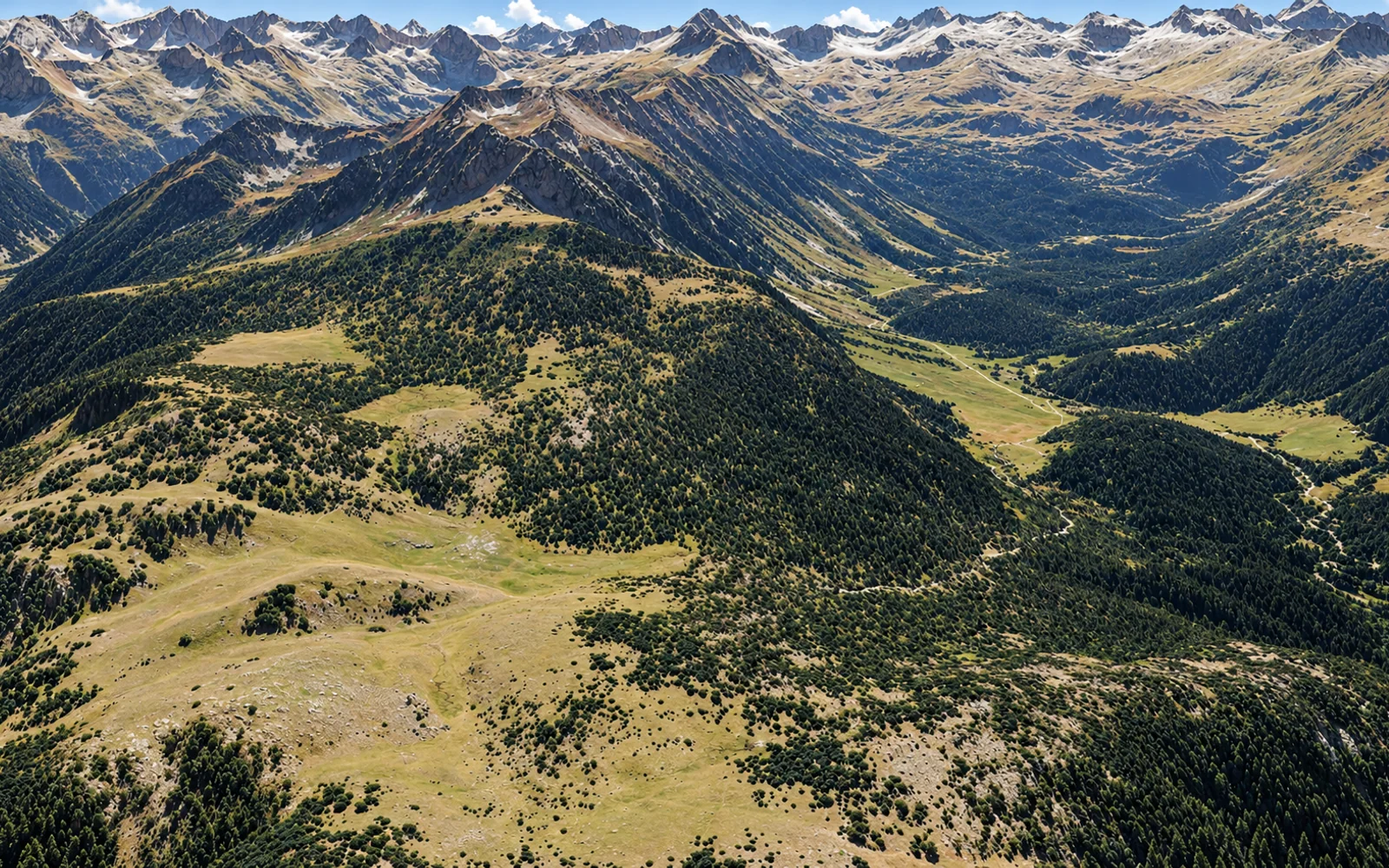
Forests, water and mountain paths. Discover the Aiguamòg valley and the Colomèrs lakes, a gateway to Aigüestortes i Estany de Sant Maurici National Park.

Explore the landscape
Val d'Aran · PyreneesKeep exploring

01 / THE PLACE

BANHS DE TREDÒS · A GATEWAY TO THE NATIONAL PARK

More than a destination, a starting point.

At Pla des Banhs, the forest opens up to reveal the Sendrosa peaks. The Aiguamòg river follows the path: pause beside the water or continue towards the Colomèrs lakes.

Paths through pines and firs lead towards the lakes and passes of Colomèrs. Choose your way to enjoy the valley: a family walk, a bike ride or a day in the mountains. Banhs de Tredòs is your starting point for exploring at your own pace.

Explore the routes
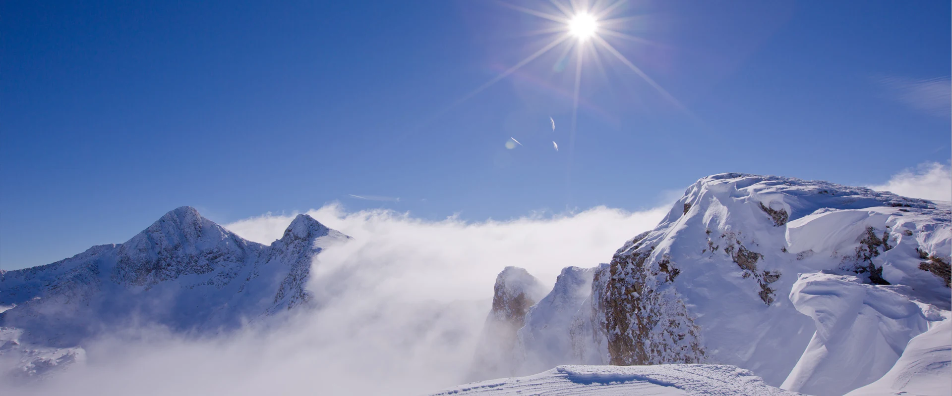
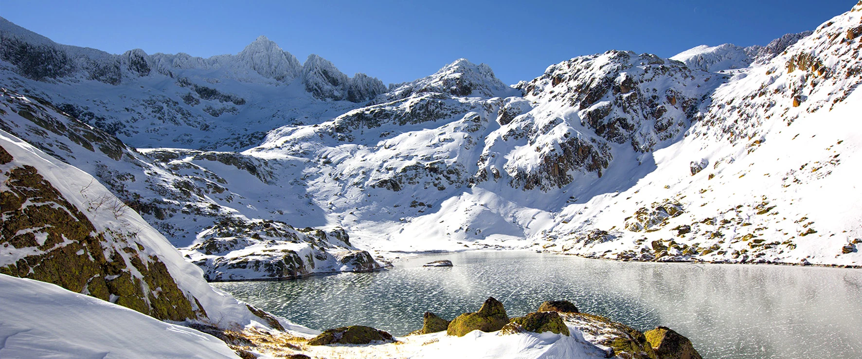
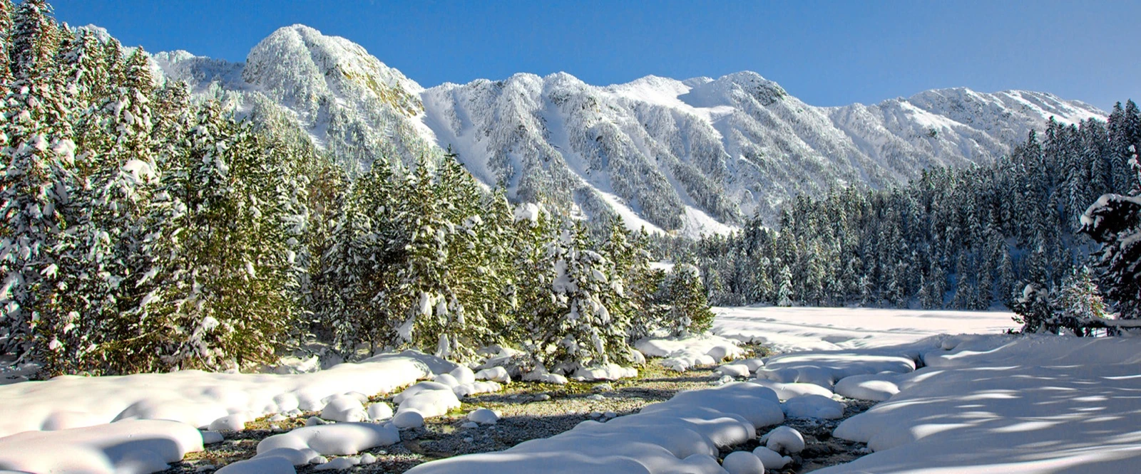
Snow-covered Sendrosa ridge at Pla des Banhs, beside the Aiguamòg river
THE LANDSCAPE CHANGES WHEN YOU SLOW DOWN

Where you think you cannot reach…

02 / SUMMER · ROUTES AND WALKSFrom a gentle walk to the high mountains

SUMMER ACTIVITIES IN BANHS DE TREDÒS

One valley, many paths.

Riverside walks, mountain lakes and cycling trails. Find your way to enjoy the valley with family, friends or a partner, taking it slowly or heading further afield.

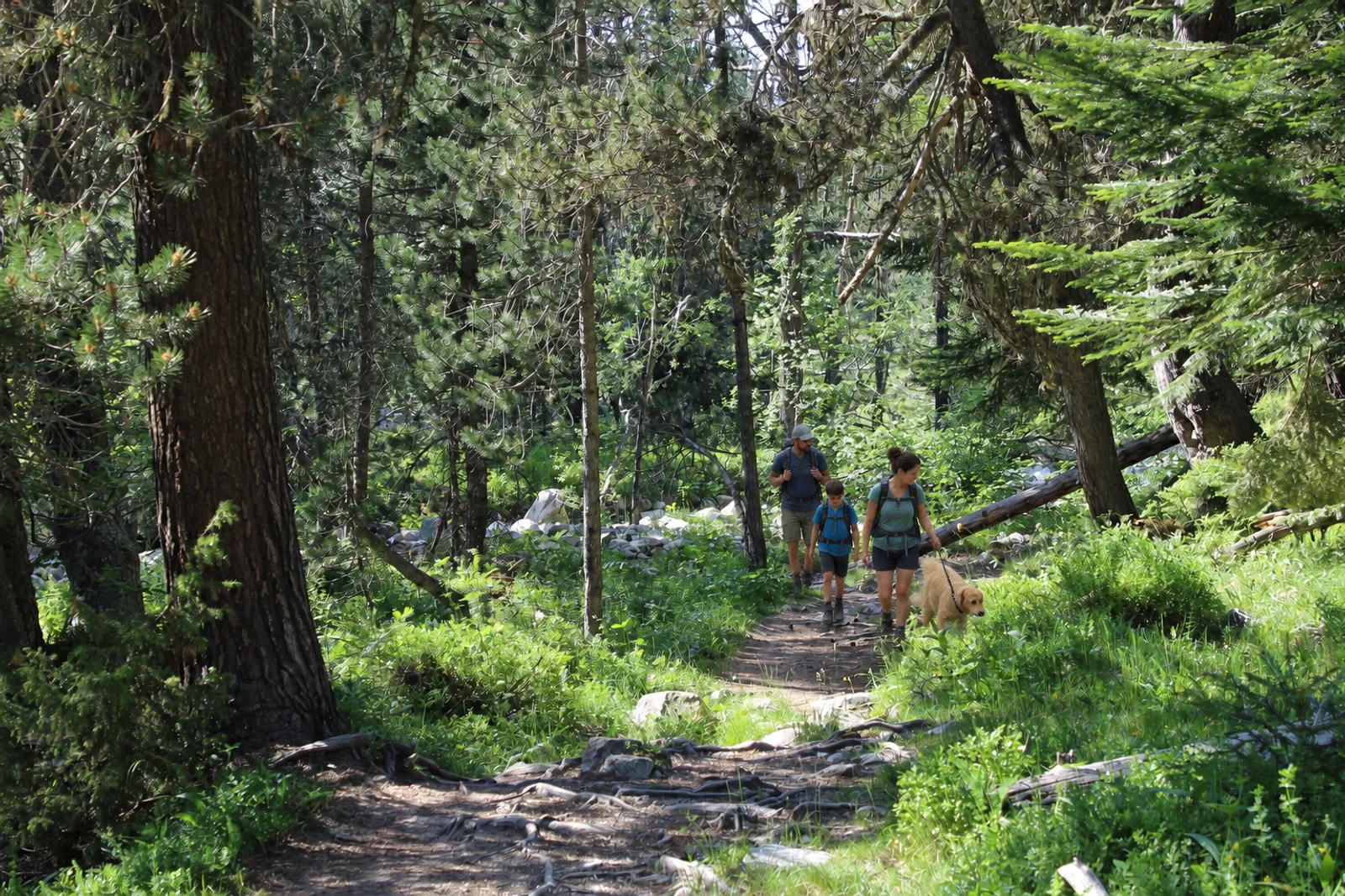
A family with a dog follows the path through pines towards Aiguamòg waterfallCircular walk

Aiguamòg waterfall loop

Follow the river through pines to Aiguamòg waterfall. Enjoy the water and woodland close to Pla des Banhs.

  • Area · Pla des Banhs
Explore the route

A gentle family walk beside the Aiguamòg river. The loop explores the trees and clearings around Pla des Banhs, following the water to the waterfall. Choose your walk according to trail conditions and follow the signs; take care on wet rocks beside the water.

Before setting out, check trail conditions and choose a route suited to your experience.
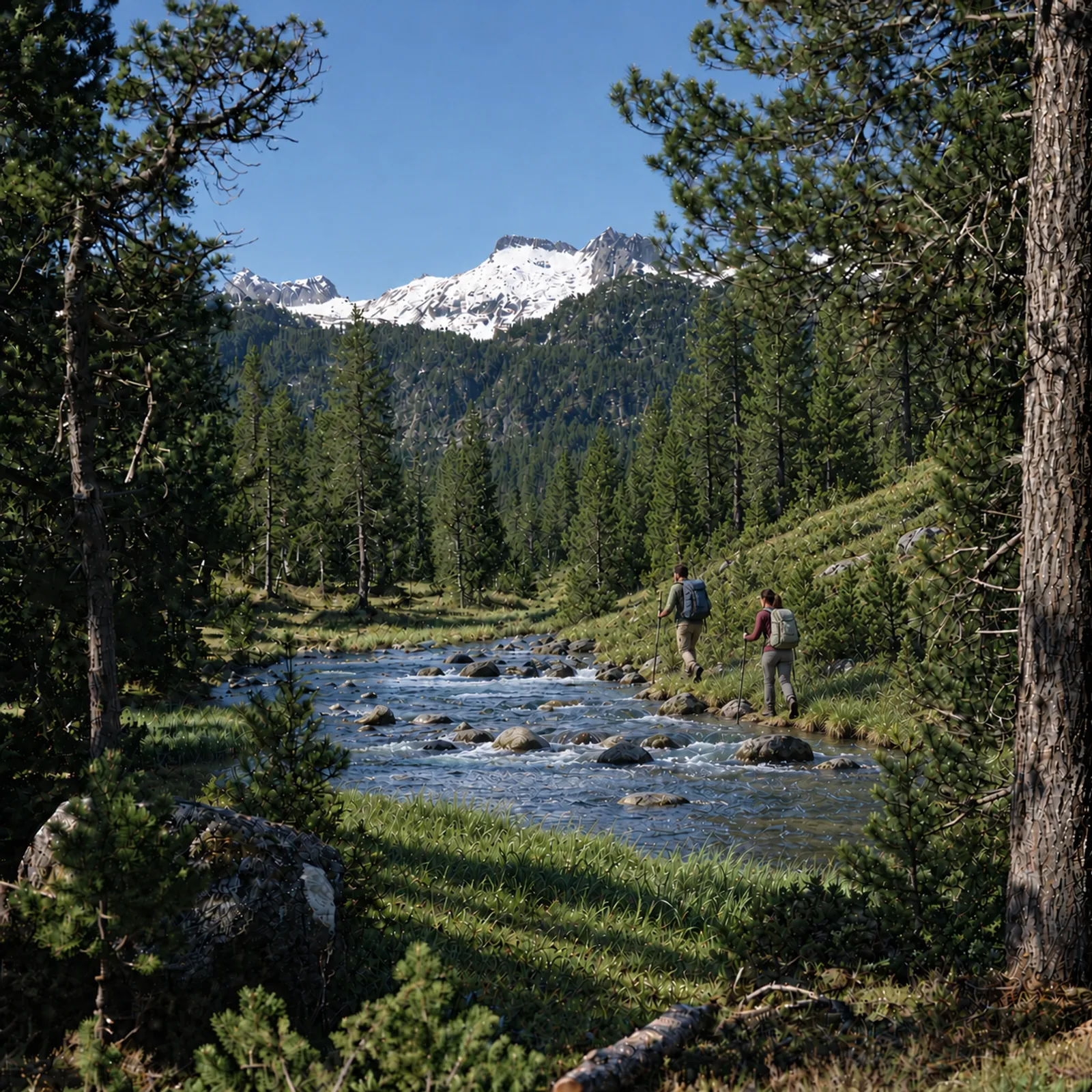
Two hikers walk upstream on the opposite bank towards snowy peaksWalking route

Walk to Era Montanheta

Follow the river up the valley to Era Montanheta, through meadows and woodland with the Colomèrs peaks beyond.

  • Area · Pla des Banhs
Explore the route

From Pla des Banhs, the trail to Era Montanheta reveals the valley as you gain height. The river, clearings and mountain views accompany the walk. Pause to take it in, adapting the day to your experience and the condition of the trail.

Before setting out, check trail conditions and choose a route suited to your experience.
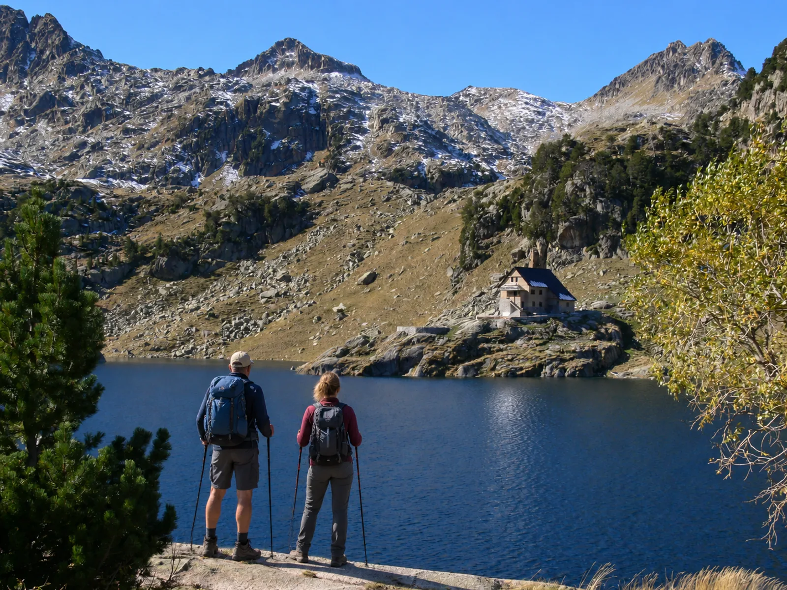
Two hikers seen from behind look across Colomèrs lake, with the refuge beyondWalking route

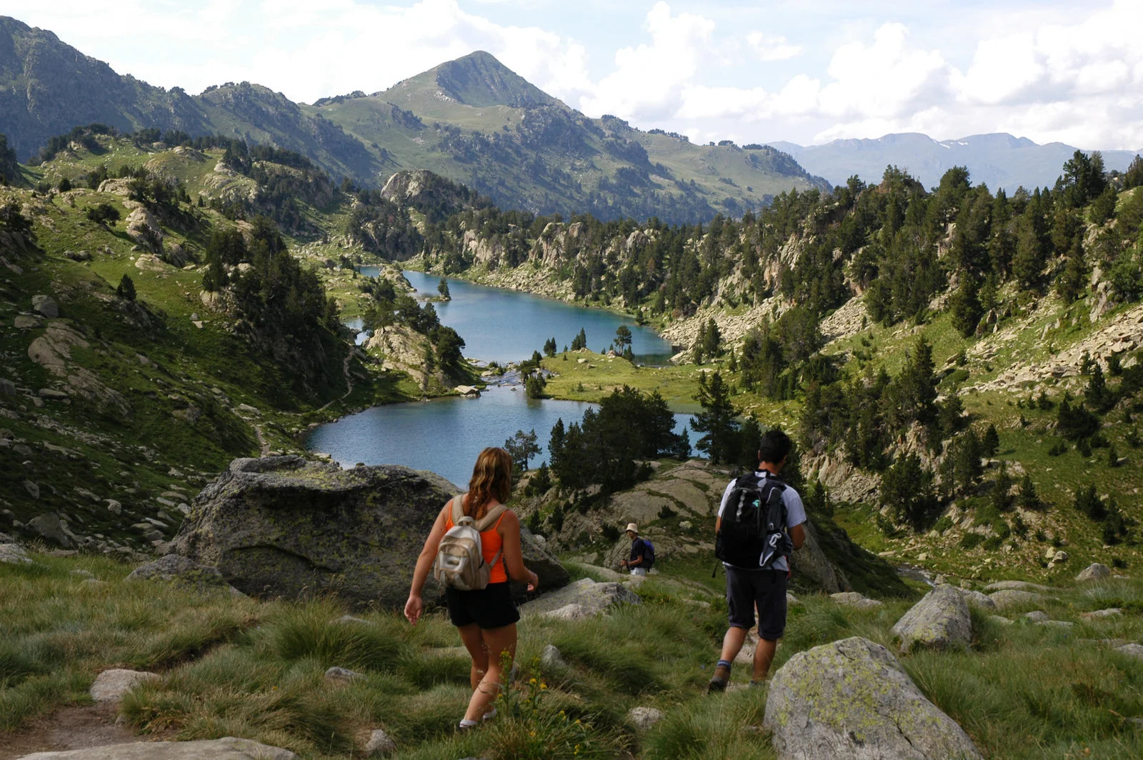
Walk to the main Colomèrs lake

Discover the main lake, dam and refuge of Colomèrs: a first glimpse of the lakes landscape.

  • Area · Colomèrs
Explore the route

The main lake brings together Colomèrs' landmarks: water beneath the peaks, the dam and the refuge. From the trailhead, continue on foot. You can combine the walk with a taxi from Pla des Banhs; check your return and prepare with a route map.

Before setting out, check trail conditions and choose a route suited to your experience.
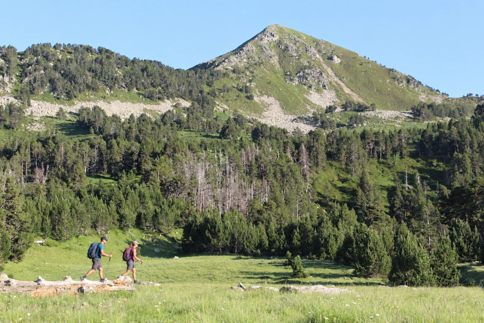
Two hikers cross a meadow beneath a mountain peakHigh mountains

Salana ascent

Leave the forest behind and head towards Salana for a day among the open mountain tops.

  • Area · Valarties
Explore the route

Salana rises above the forest, offering a different view of the valley and surrounding mountains. The ascent needs planning, mountain experience and a route suited to the conditions. Check the route and weather, and allow time for the descent.

Before setting out, check trail conditions and choose a route suited to your experience.
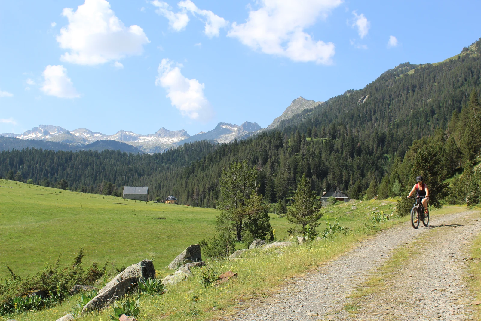
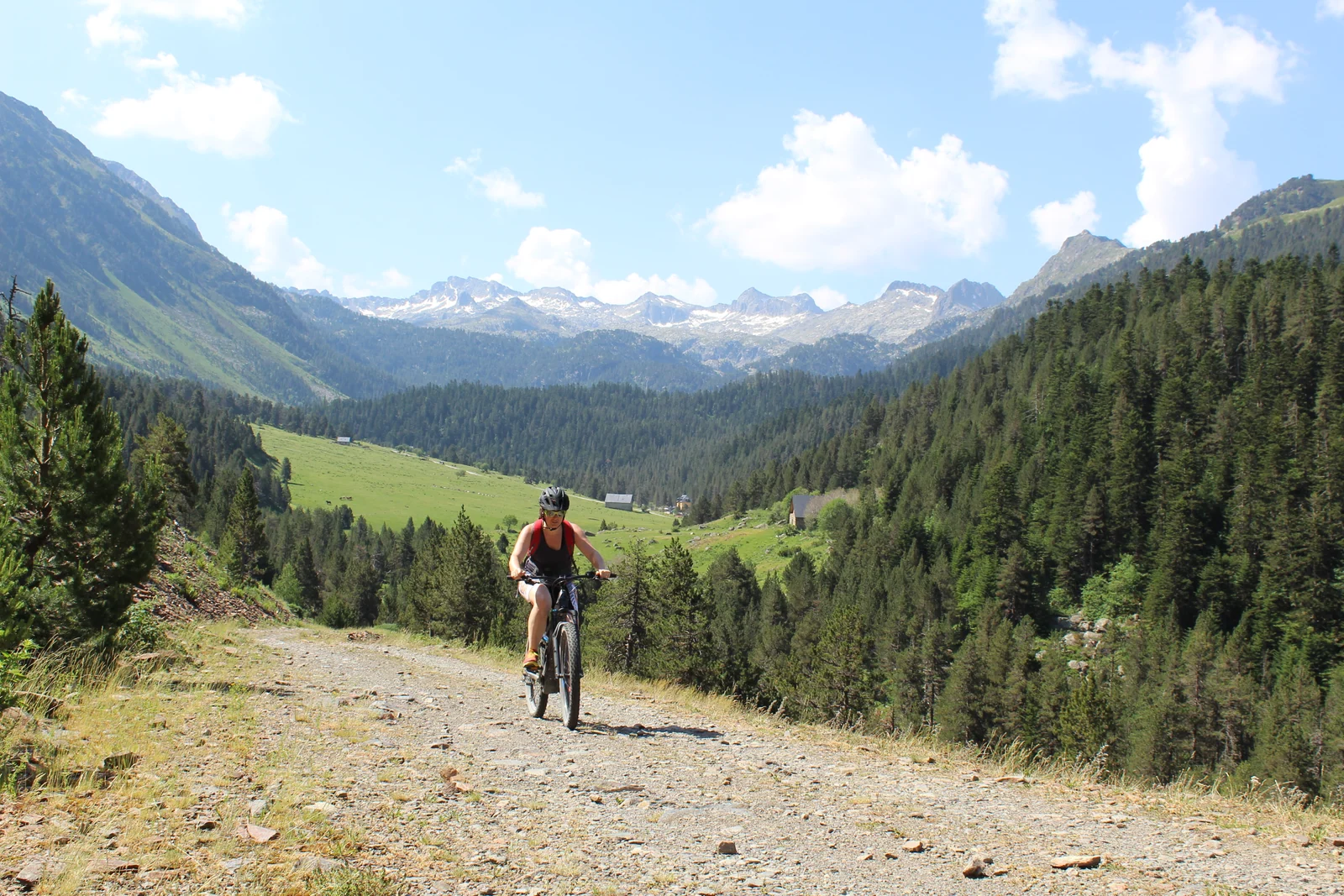
Cyclist climbing a mountain track overlooking the valleyMTB · e-bike

Porera MTB / e-bike route

Ride towards Porera forest and its viewpoints, with views that change as you climb.

  • Area · Porera
Explore the route

Explore another side of the valley on two wheels: the climb, the forest and views of the peaks. Match the effort to your ability and use only trails where bikes are allowed. Share the path with walkers and check the route before setting out.

Before setting out, check trail conditions and choose a route suited to your experience.
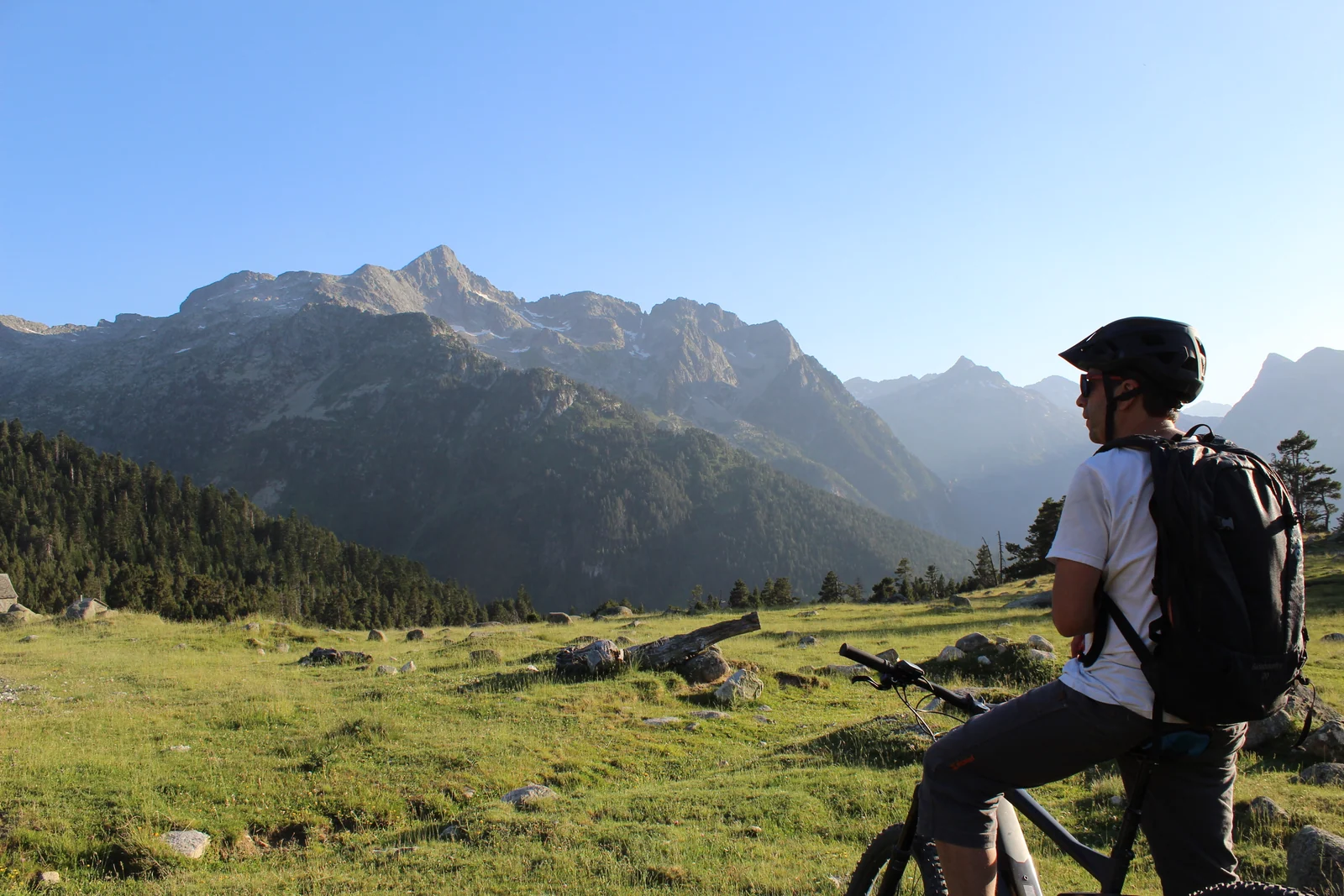
Cyclist looking towards the Montarto peaks beside a bicycleMTB · e-bike

Valarties MTB / e-bike route

Ride the Valarties track on an MTB or e-bike, through meadows and woodland with wide mountain views.

  • Area · Valarties
Explore the route

The Valarties track takes your bike ride onto another side of the valley. Meadows and woodland clearings offer places to stop and enjoy the view. Plan the route and return, check permitted uses and adapt the day to your experience and, on an e-bike, the available battery range.

Before setting out, check trail conditions and choose a route suited to your experience.
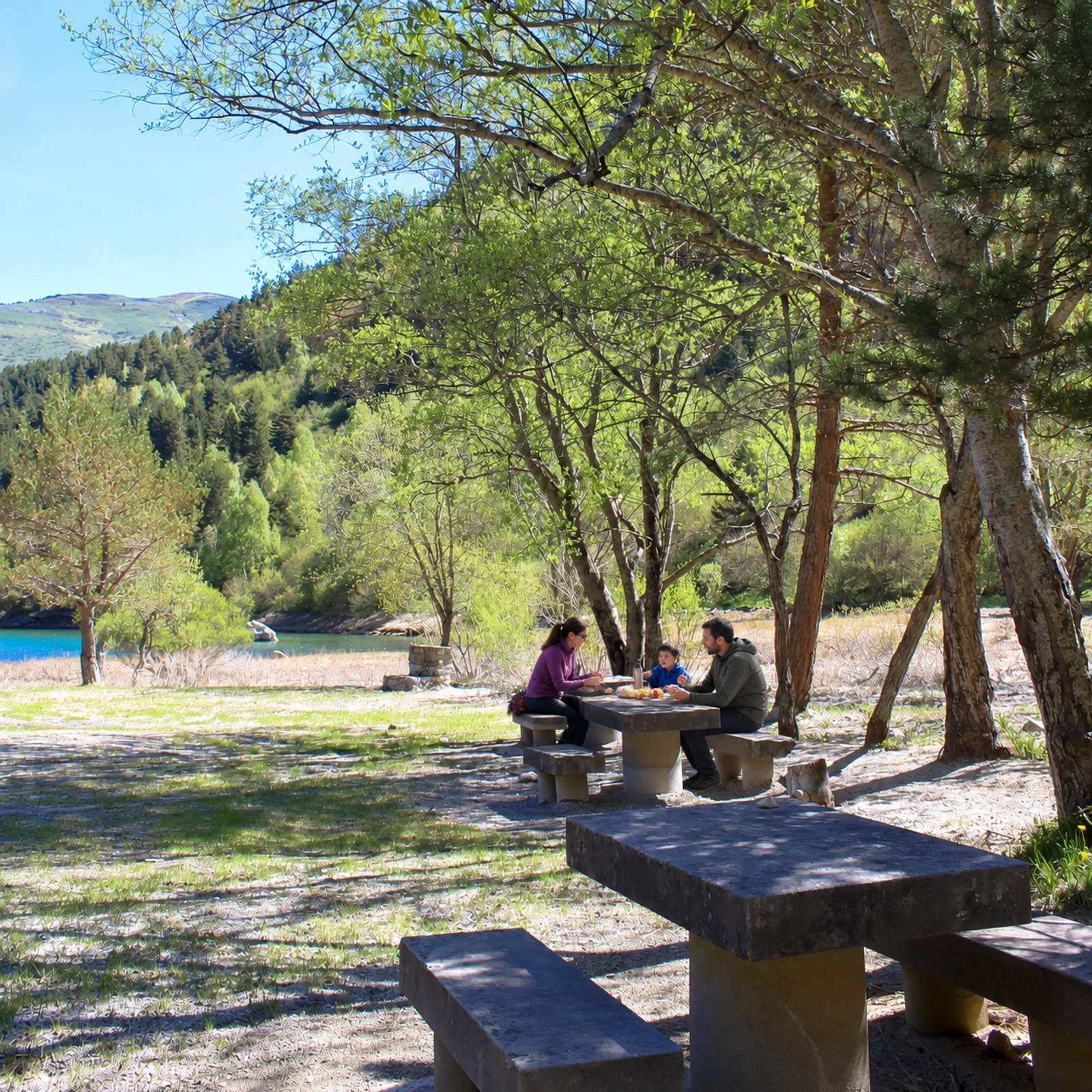
Family picnicking at a table among trees beside the waterStop · picnic

Aiguamòg dam picnic area

Pause beside the water at the valley entrance. Share a meal and enjoy the surroundings.

  • Area · Aiguamòg riverside
Explore the route

A simple plan: pause, share a meal and spend time beside the water. Respect other visitors, take all rubbish down to the village bins and check restrictions in the area. Take extra care near the water with children.

Before setting out, check trail conditions and choose a route suited to your experience.
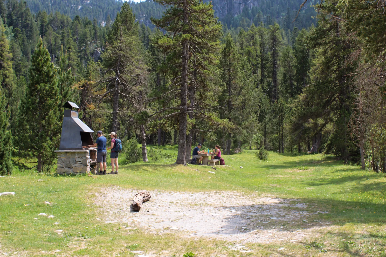
Hikers at the picnic table and two people beside the Era Montanheta barbecueStop · picnic

Era Montanheta picnic area

A table among pines to rest, share a picnic and spend longer at Era Montanheta.

  • Area · Pla des Banhs
Explore the route

The picnic area at Era Montanheta offers a break between forest and mountain. Bring your food and leave the table and surroundings as you would like to find them. A barbecue does not mean fires are allowed: check current restrictions before using it.

Before setting out, check trail conditions and choose a route suited to your experience.
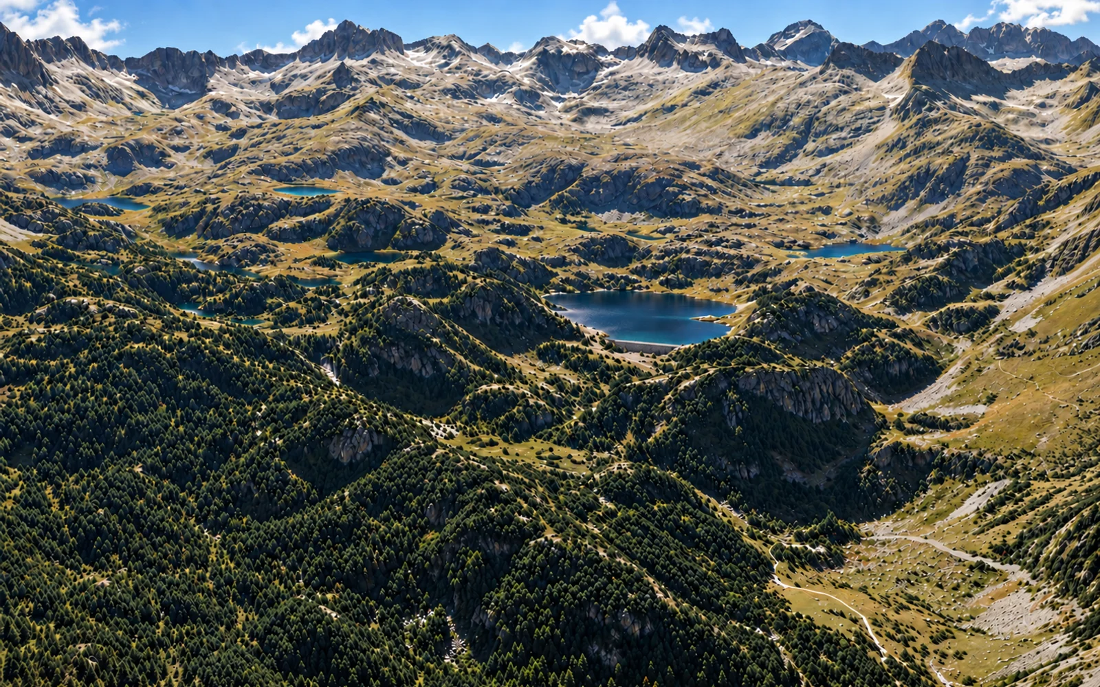
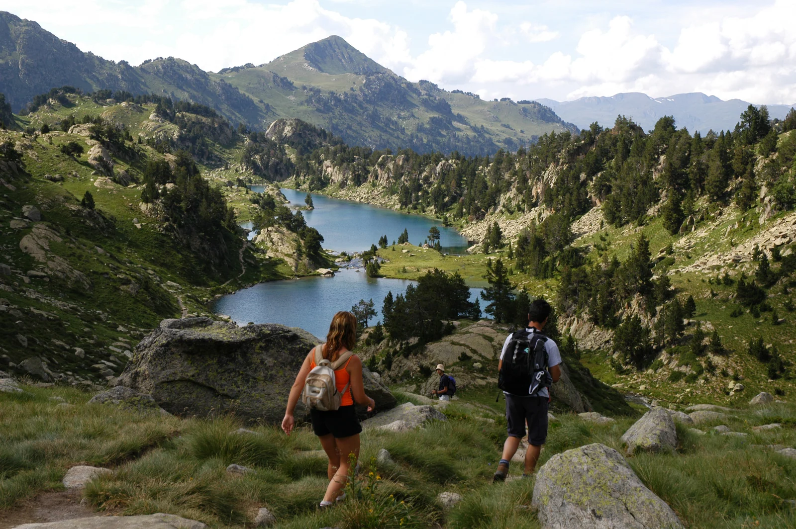
Hikers looking over several mountain lakes in ColomèrsWalking route

Seven lakes route

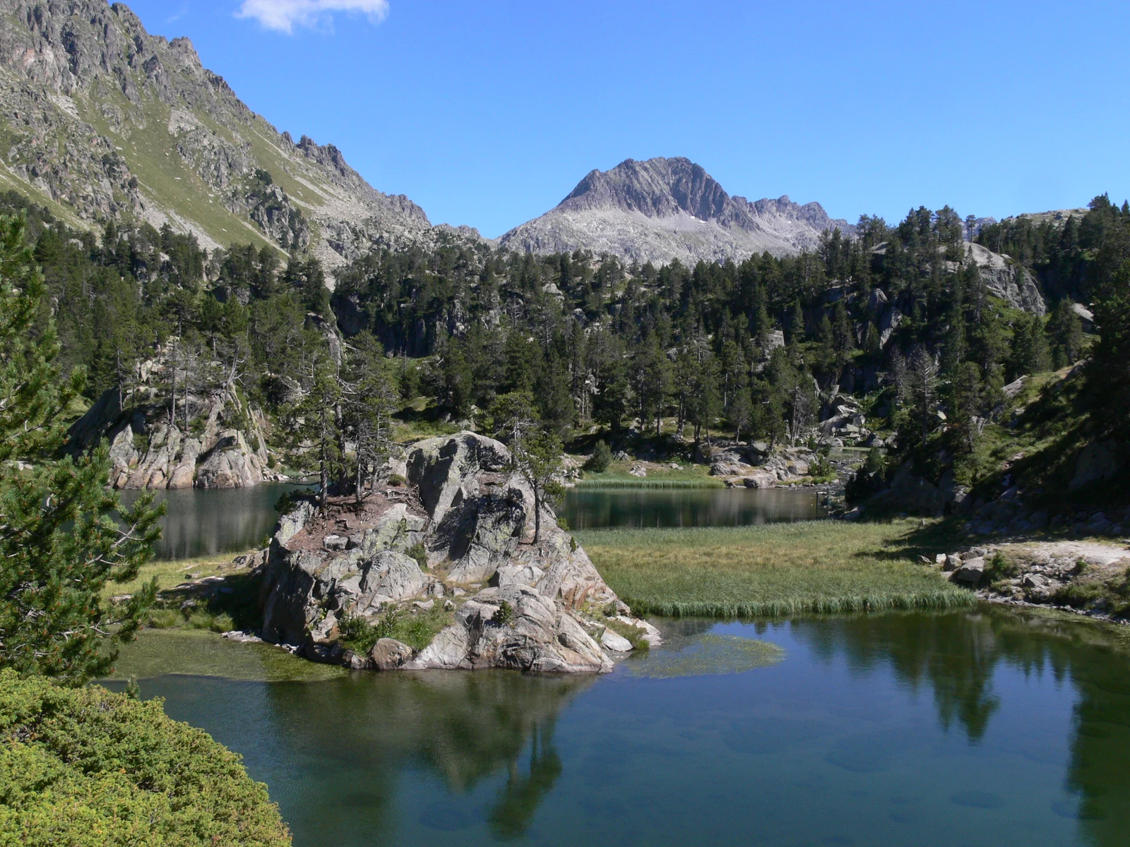
Continue beyond the main lake to discover the lakes that shape the Colomèrs cirque.

  • Area · Colomèrs
Explore the route

Explore the glacial cirque of Colomèrs, where lakes lie among peaks and passes. The view changes from one lake to the next. Prepare for a mountain day with a route map and suitable equipment. Choose according to your experience, the weather and the time available for your return.

Before setting out, check trail conditions and choose a route suited to your experience.
    Before setting out, check trail conditions and choose a route suited to your experience.
    These details help you choose an outing. On the ground, use a route map and check the signs and current conditions.

    03 / WINTERAnother side of Banhs

    WINTER IN BANHS DE TREDÒS · SNOWSHOES AND SKIING

    Snow brings a new way to explore.

    The forest turns white and the valley changes pace. Discover snowshoeing and ski touring. Plan each outing around access and mountain conditions.

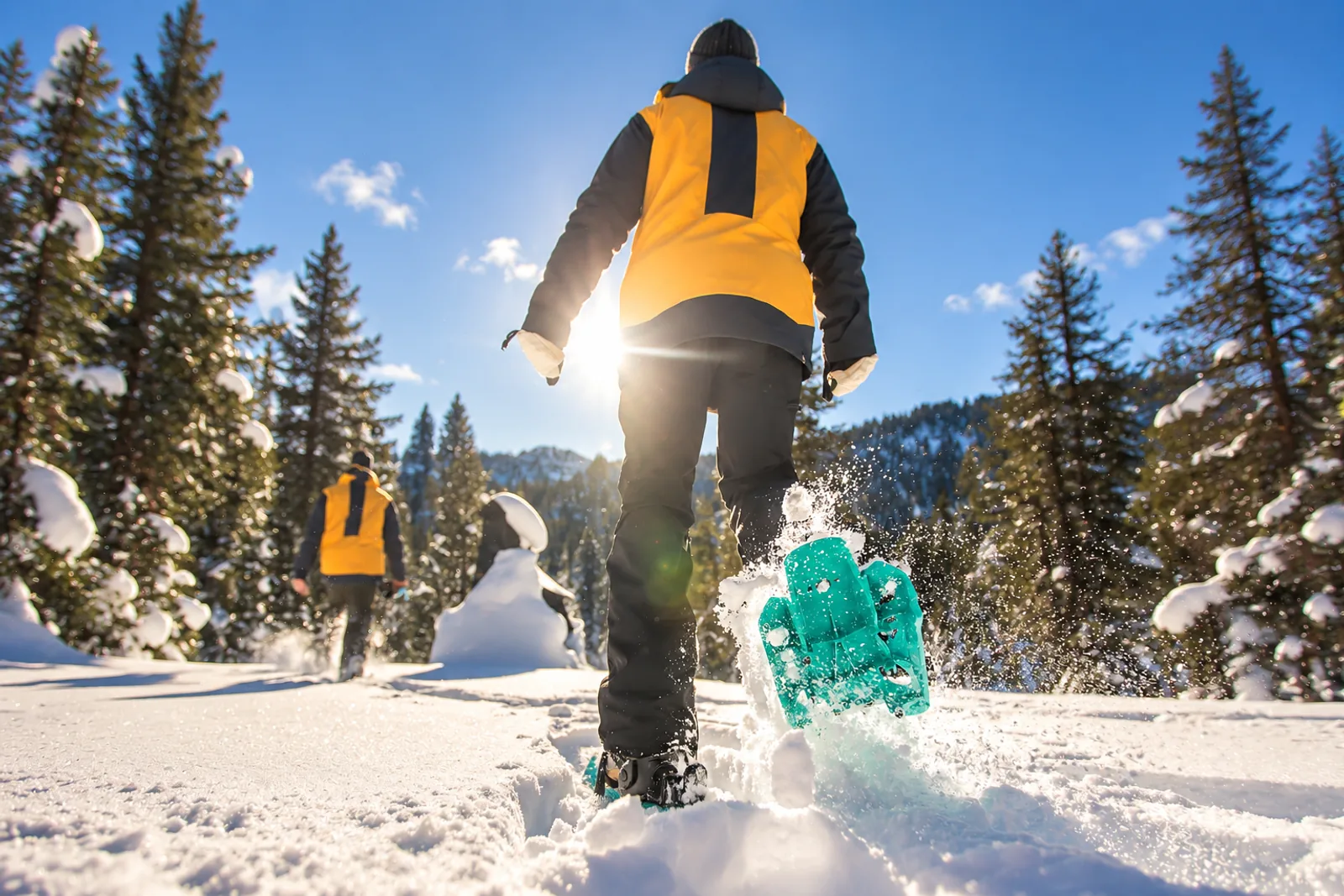
    Two snowshoers in a snowy forest, one kicking up snow in the foreground

    WINTER · SNOWSHOEING

    Walking on snow

    Explore the snowy forest, listen to the valley and walk at a pace that lets you look around.

    • On foot in the snow
    • Forest and clearings
    • Depending on conditions
    Explore the experience

    Snowshoes offer another way to explore Banhs: snow between the pines, open clearings and mountains changed by every snowfall. Choose a route suited to your experience and check snow, access and weather. If you need a guide or equipment, confirm the options before travelling.

    Check access and snow conditions before setting out. Confirm organised outings directly with the provider.
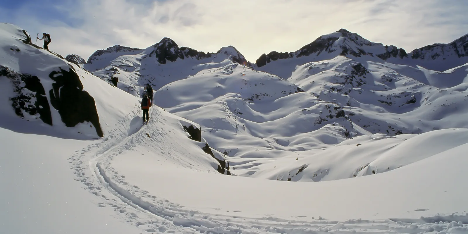
    People crossing a snowy high-mountain slope

    WINTER · SKI TOURING

    Mountains in motion

    Climb on skis and discover winter mountains from another perspective, with the preparation snow demands.

    • High mountains
    • Specific experience
    • Snow and weather
    Explore the experience

    Ski touring combines the effort of climbing with a high-mountain descent. It requires specific experience, suitable equipment and assessment of snow and avalanche risk. Plan with current information and consult mountain professionals if you need guidance.

    Check access and snow conditions before setting out. Confirm organised outings directly with the provider.

      Check access and snow conditions before setting out. Confirm organised outings directly with the provider.
      04 / THE LANDSCAPEFive areas · one mountain landscape

      MAP OF BANHS DE TREDÒS AND ITS SURROUNDINGS

      Discover the valley layer by layer.

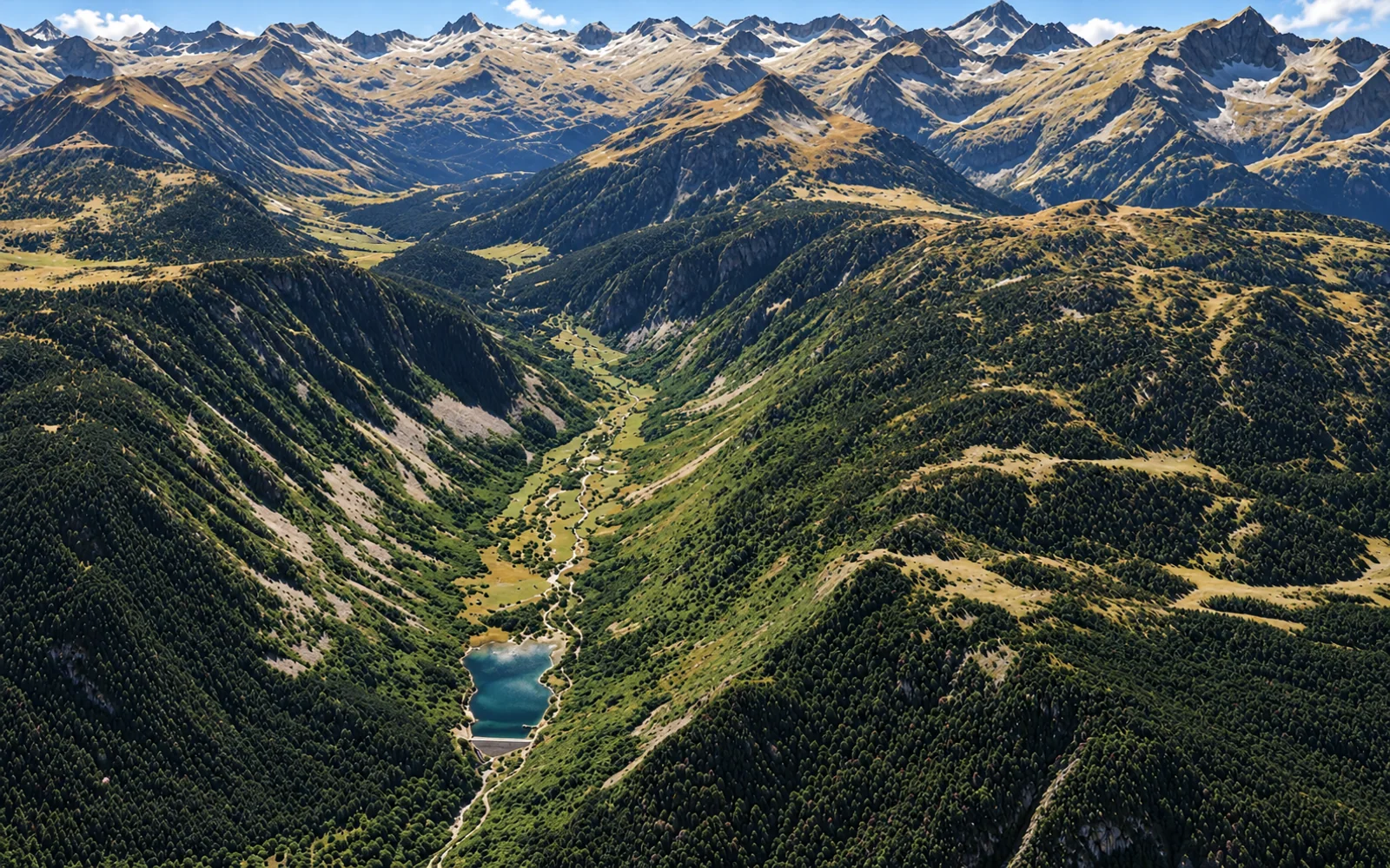
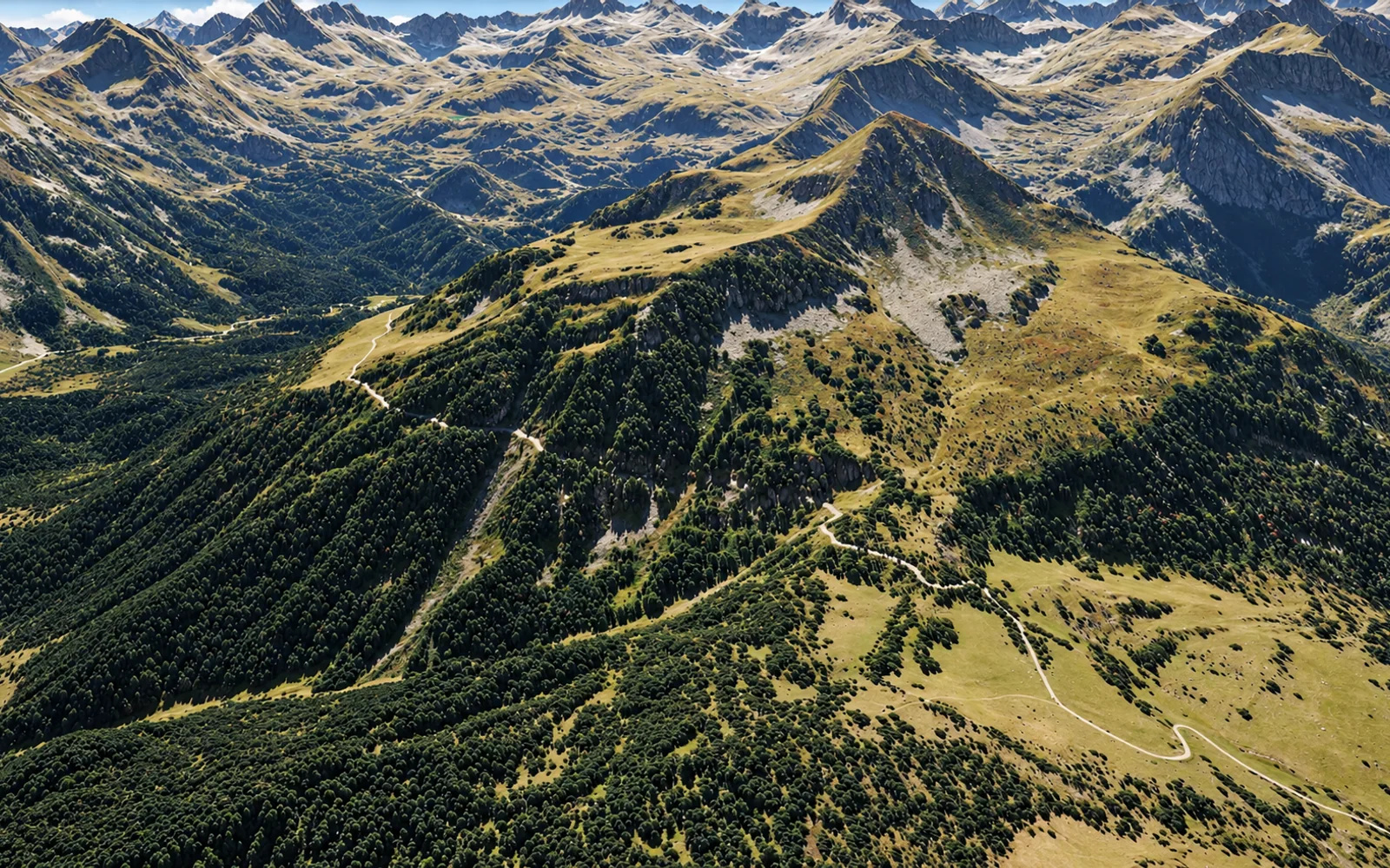
      Plan your next outing across five areas: the Aiguamòg riverside, Pla des Banhs, Colomèrs, Valarties and Porera. Switch views and open the markers to discover each place, its photographs and altitude.

      The approach follows the Aiguamòg valley. Three visible landmarks help you understand the stretch climbing from the dam.

      Tap a map marker to learn more

      Interpretative landscape views · Do not use for navigation

      Select a marker to explore

      Explore the areas and their points of interest:

      Aiguamòg riverside

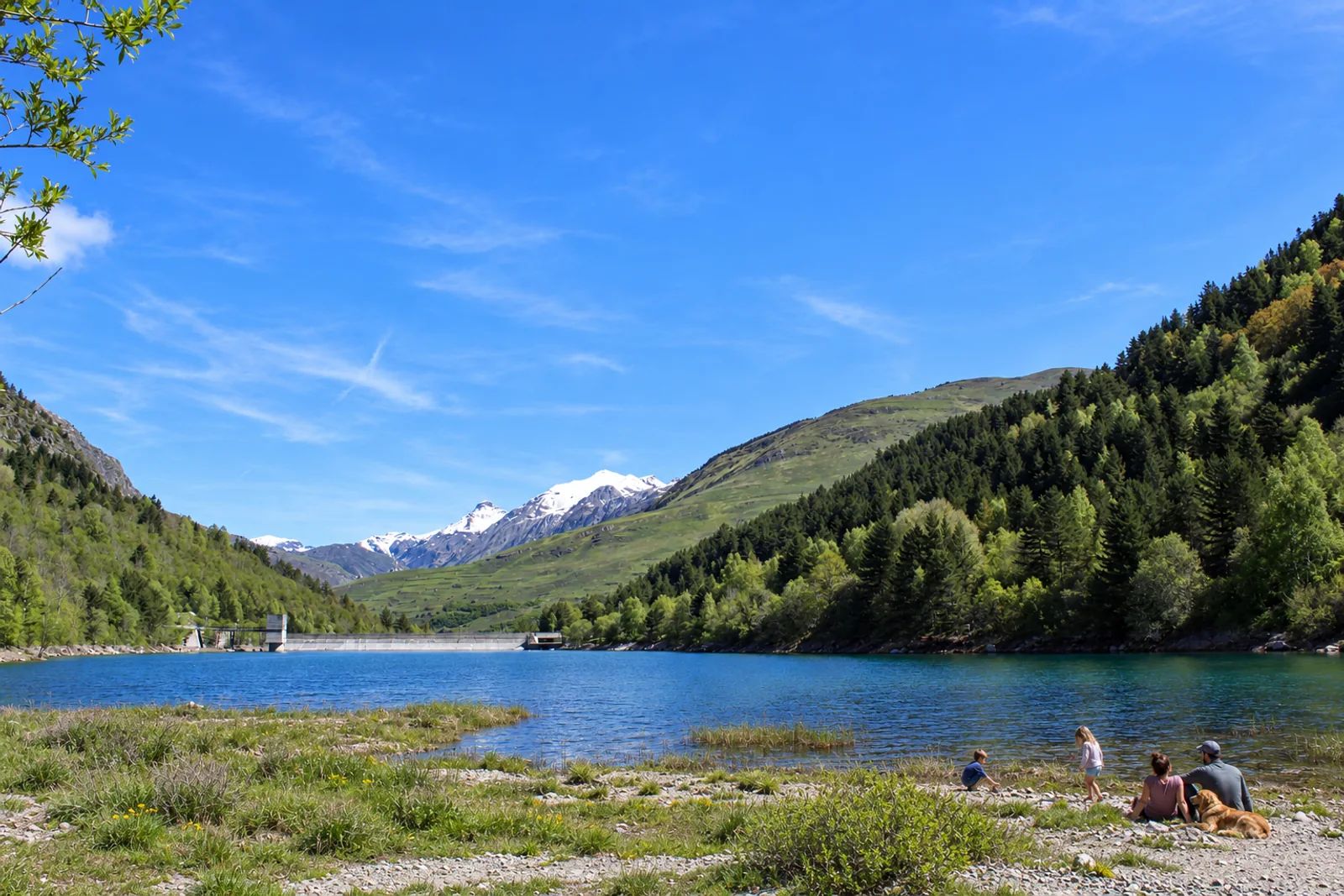
      Aiguamòg dam

      A pause beside the water as you enter the valley. Aiguamòg dam is one of the first landmarks on the climb. Water and woodland invite you to pause before continuing to Banhs; respect access rules and designated areas.

      Family with a dog beside the water at Aiguamòg dam, with the dam and valley behindRepresentative photograph of the surroundings; it may not show this exact spot.
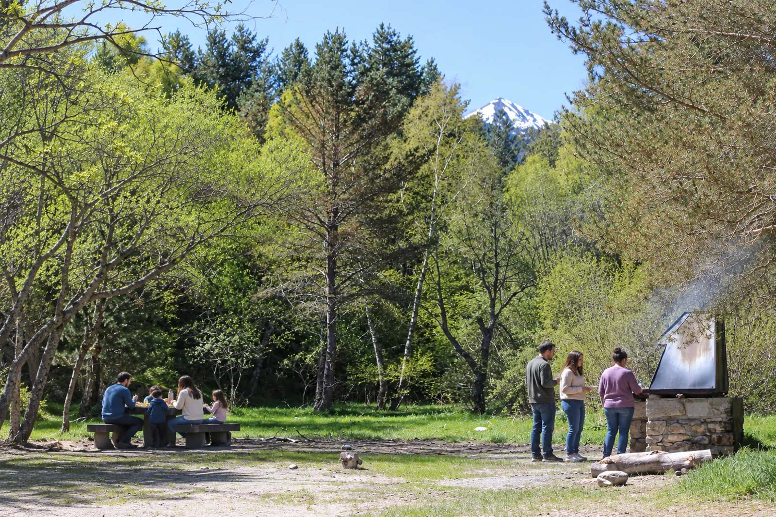
      Barbecue area

      A woodland table for a shared stop. The picnic area offers a place to rest and eat together as you enter the valley. Take all rubbish with you and check restrictions before using the barbecue.

      Family at the picnic table and three people around the barbecue, one holding a drink and another preparing the coalsRepresentative photograph of the surroundings; it may not show this exact spot.
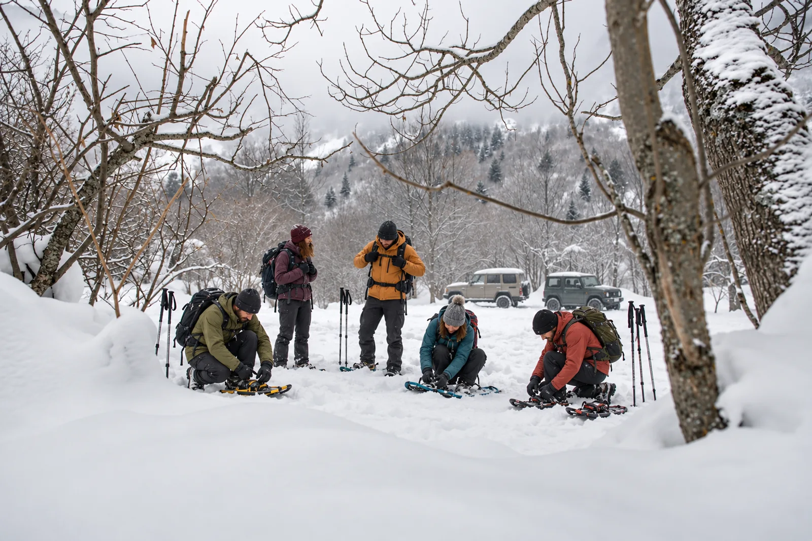
      Winter access barrier

      In winter, private cars cannot pass this barrier. The Aiguamòg valley barrier marks the winter limit for private cars. From here, prepare the onward journey to Banhs. Check snow and weather conditions and choose a plan suited to your experience.
      Friends adjusting their snowshoes in a snowy clearing, with two four-wheel-drive vehicles behindRepresentative photograph of the surroundings; it may not show this exact spot.

      Pla des Banhs

      Pla des Banhs de Tredòs

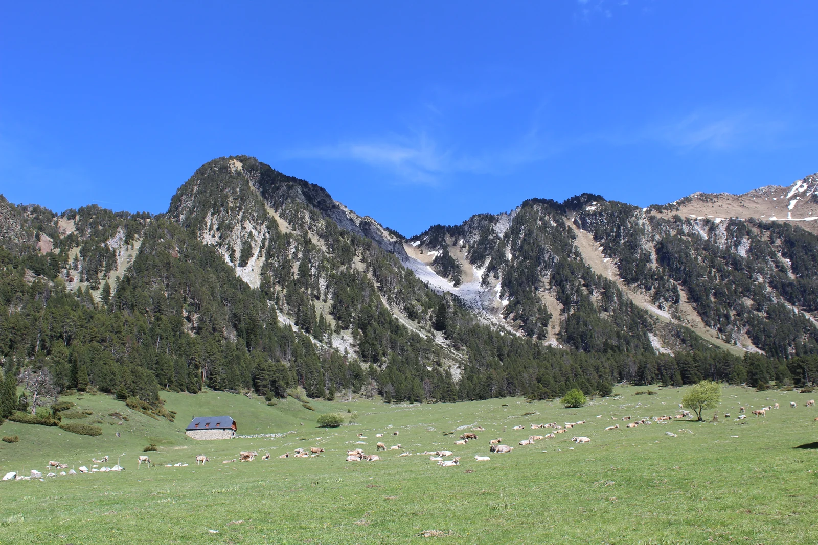
      The clearing where the valley opens and you choose your way onward. Pla des Banhs brings together meadows, river and mountain views. From 21 June, private cars must stay in the Banhs car park. Continue towards Colomèrs on foot or take a taxi beside the tourist information hut and barrier.

      Pla des Banhs meadow with cattle, a building and mountain slopes behindRepresentative photograph of the surroundings; it may not show this exact spot.
      Waterfall circular walk

      A walk between woodland and water near Pla des Banhs. The circular walk explores Aiguamòg waterfall and the river among the pines. Follow the marked path and adapt your walk to the ground conditions.

      Family with a dog on the path to Aiguamòg waterfallRepresentative photograph of the surroundings; it may not show this exact spot.
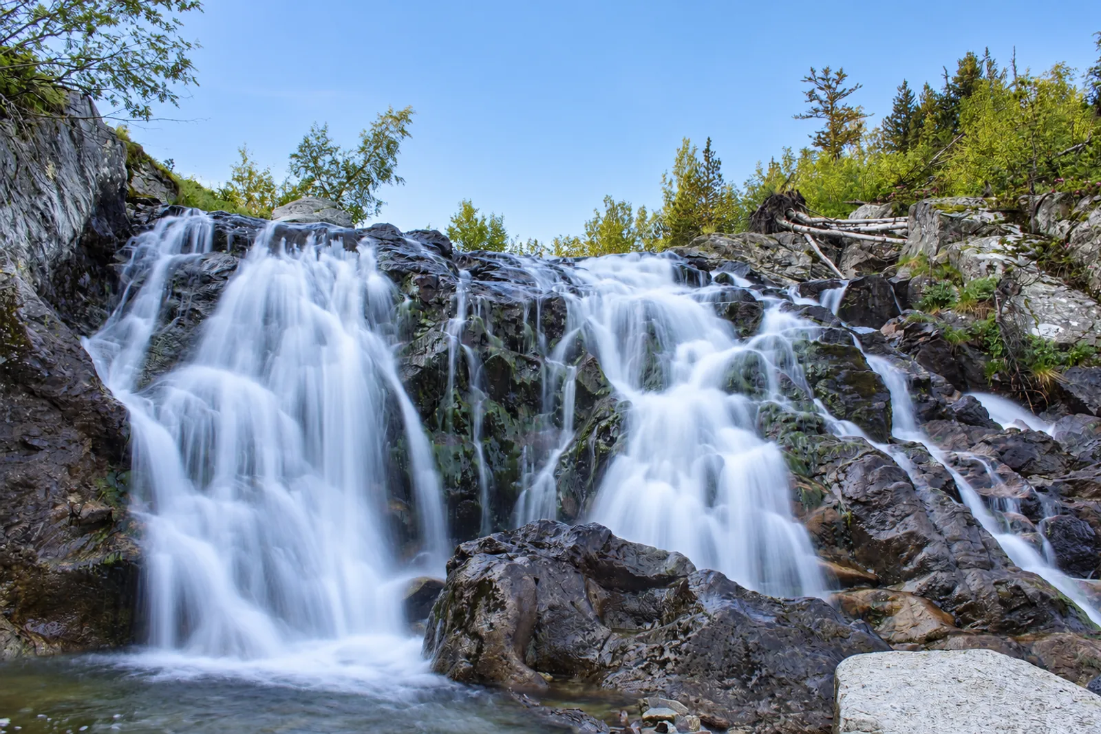
      Aiguamòg waterfall

      The sound of water welcomes you to the waterfall. Among the rocks, the Aiguamòg river creates one of the most recognisable spots near the Pla. Pause to look from the path and take care on damp ground beside the water.

      Aiguamòg waterfall among rocks under a clear morning skyRepresentative photograph of the surroundings; it may not show this exact spot.
      Era Montanheta

      Meadows and woodland on the climb towards higher landscapes. Era Montanheta invites you further along the valley, looking towards the peaks. Clearings, pines and a picnic area offer places to rest; plan around conditions and your return time.

      Meadow and forest at Era Montanheta beneath mountain slopesRepresentative photograph of the surroundings; it may not show this exact spot.

      Colomèrs and lakes

      Colomèrs trailhead

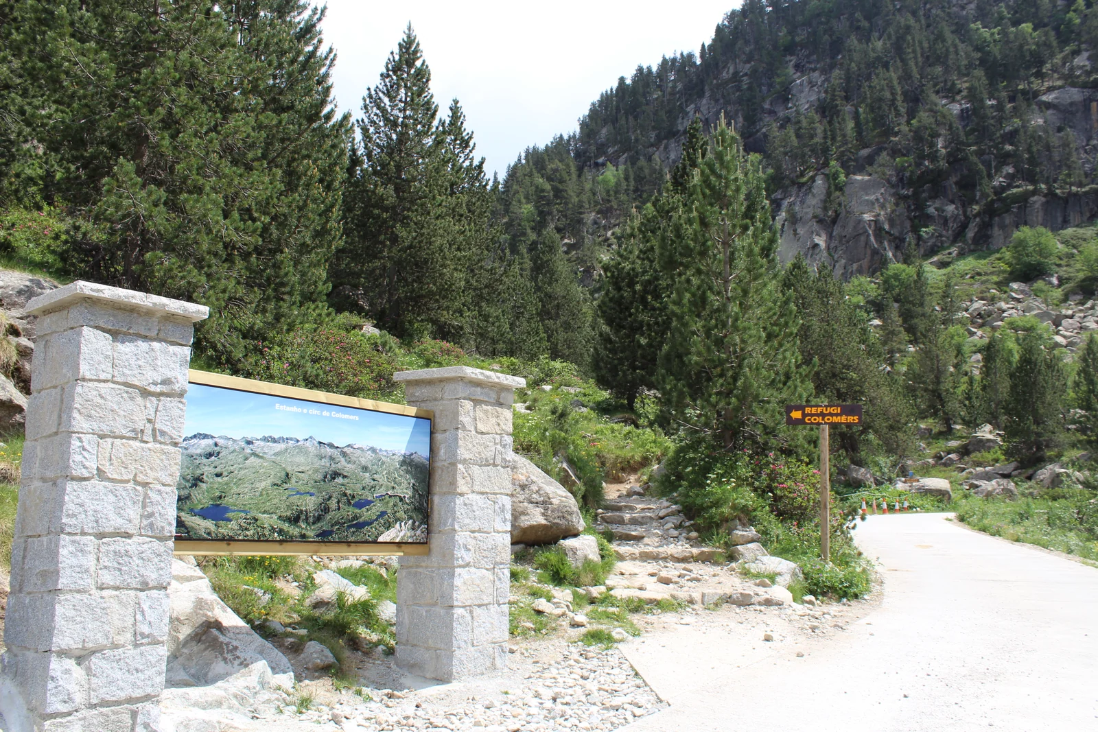
      From here, discover Colomèrs on foot. The trailhead marks the transition from the taxi approach to walking towards the lakes and refuge. Check your chosen route and arrange your return before setting out.

      Start of the Colomèrs trail beside the information board and refuge signRepresentative photograph of the surroundings; it may not show this exact spot.
      Aiguamòg bridge

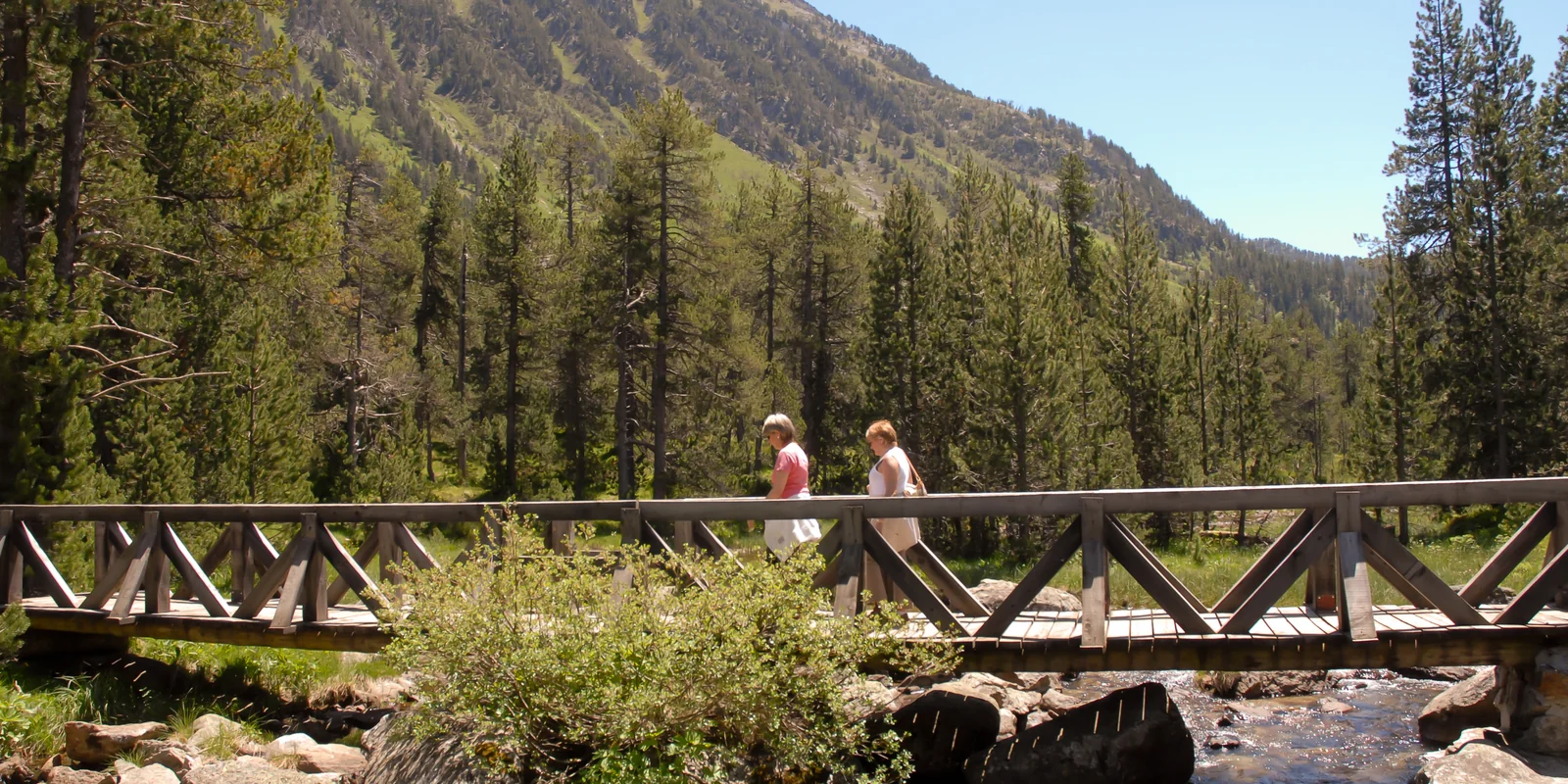
      A crossing over water on the way to Colomèrs. The bridge is part of the approach to the lakes. Follow the trail signs and cross carefully, especially when the ground is wet or snowy.

      Two people crossing the wooden bridge on the way to ColomèrsRepresentative photograph of the surroundings; it may not show this exact spot.
      Colomèrs refuge

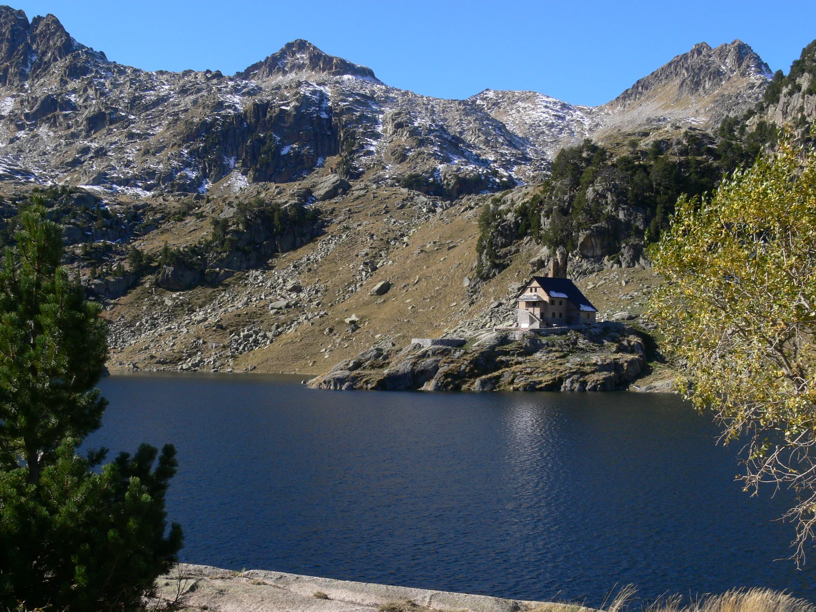
      A landmark between the lake and the peaks. Colomèrs refuge is part of the area's history of hikes and long-distance journeys. If you need accommodation or services, check opening and reservations directly with the refuge.

      Colomèrs refuge beside the lake, with mountains behindRepresentative photograph of the surroundings; it may not show this exact spot.
      Colomèrs main lake

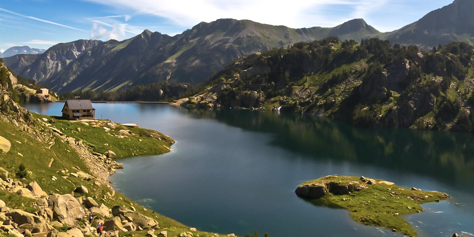
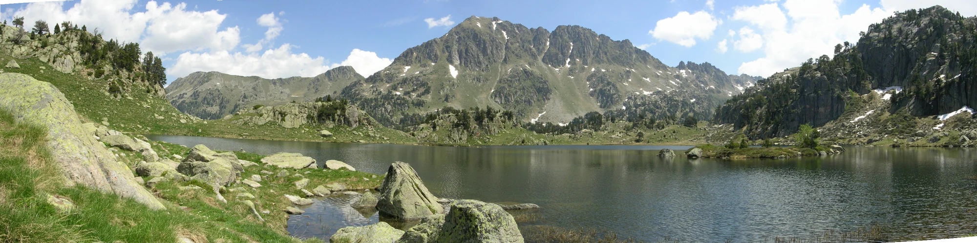
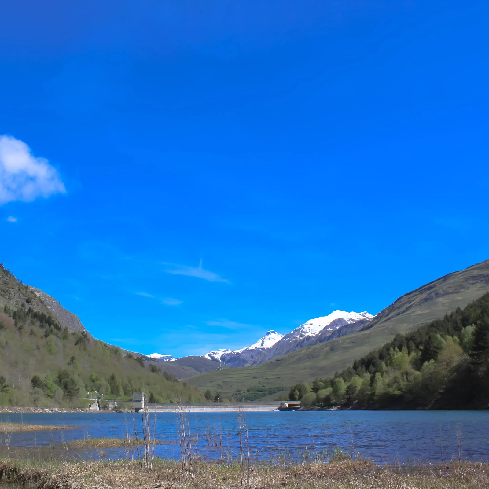
      Water, dam and peaks in the Colomèrs landscape. The main lake is a first landmark for exploring the Colomèrs cirque. The dam and refuge belong to this mountain view; from here, the landscape invites you to explore more lakes along a planned route.

      Colomèrs main lake and refuge beneath the peaksRepresentative photograph of the surroundings; it may not show this exact spot.
      Seven lakes route

      Beyond the main lake, the landscape keeps changing. The seven lakes route reveals the scale of the Colomèrs cirque. Prepare maps, equipment and plenty of time; the marker locates the suggested outing, not its entire route.

      Hikers exploring the lakes of ColomèrsRepresentative photograph of the surroundings; it may not show this exact spot.

      Valarties trail

      Valarties trail

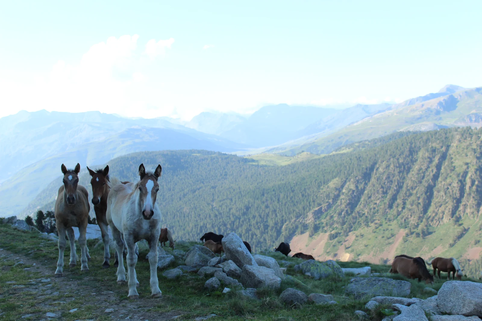
      Another side of the valley, between meadows and mountains. The Valarties trail expands your options for exploring the landscape. For MTB or e-bike outings, check the route, permitted uses and return plan.

      Horses beside the Valarties trail with the valley behindRepresentative photograph of the surroundings; it may not show this exact spot.
      Valarties viewpoint

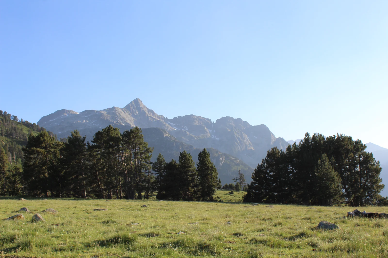
      A stop to take in the breadth of the mountains. The viewpoint opens onto Valarties slopes and peaks. Include the stop in a planned outing and enjoy the landscape without leaving designated paths.

      Meadow and pines beneath peaks seen from Valarties viewpointRepresentative photograph of the surroundings; it may not show this exact spot.
      Salana

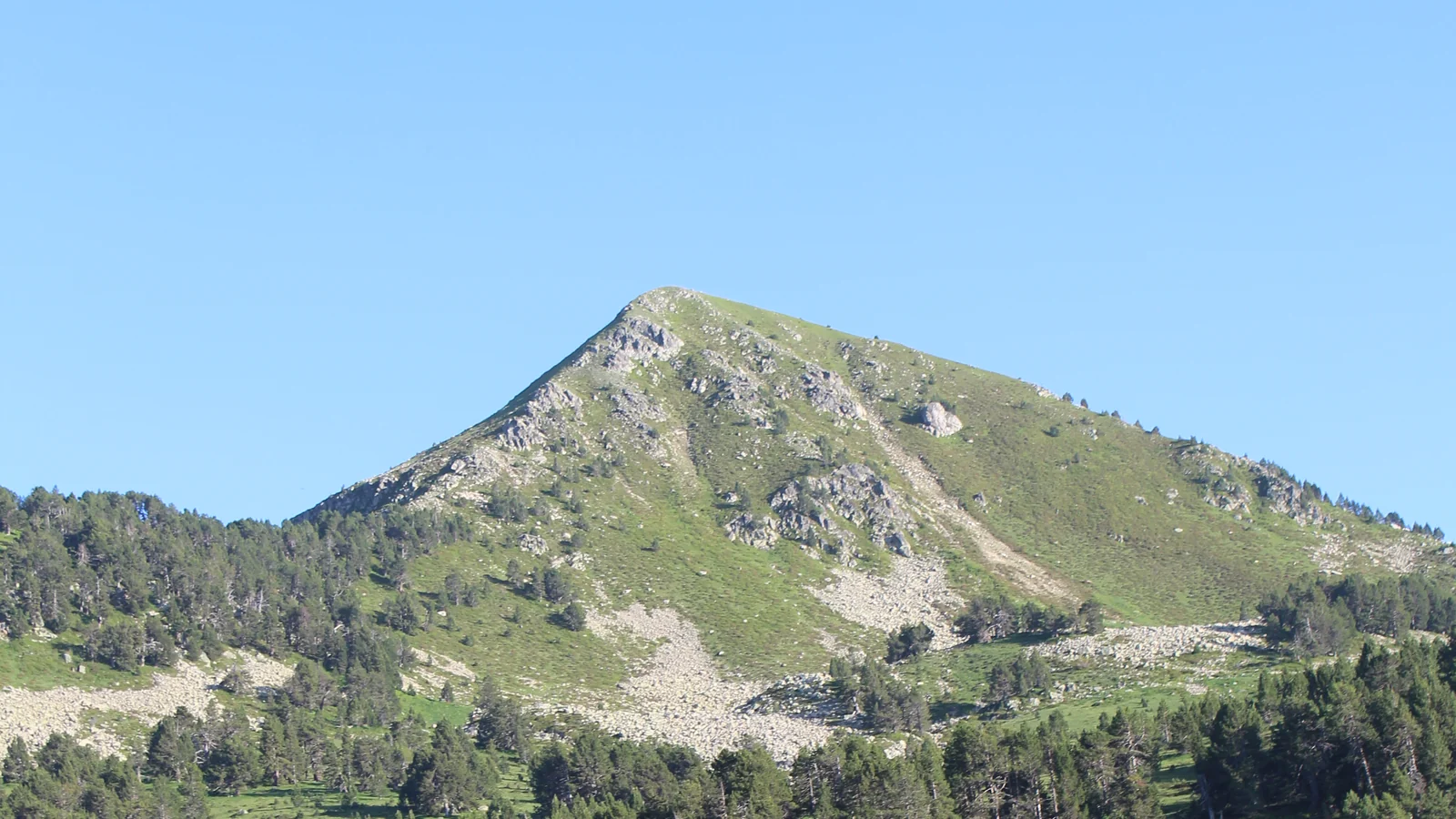
      Salana's outline stands above the forest. This summit helps you recognise the surrounding terrain. If you plan to climb it, prepare your route and check mountain conditions; the point's altitude does not describe the route's difficulty.

      Salana summit above the slope and forestRepresentative photograph of the surroundings; it may not show this exact spot.

      Porera forest

      Porera trail entrance

      The Pla des Banhs junction where the climb begins. From this junction, the path heads to Porera and opens a new perspective on the valley. Its position on the illustration is approximate; follow signs on the ground.

      Path beside the Pla des Banhs meadows with a cyclist and mountains behindRepresentative photograph of the surroundings; it may not show this exact spot.
      Path to Porera forest

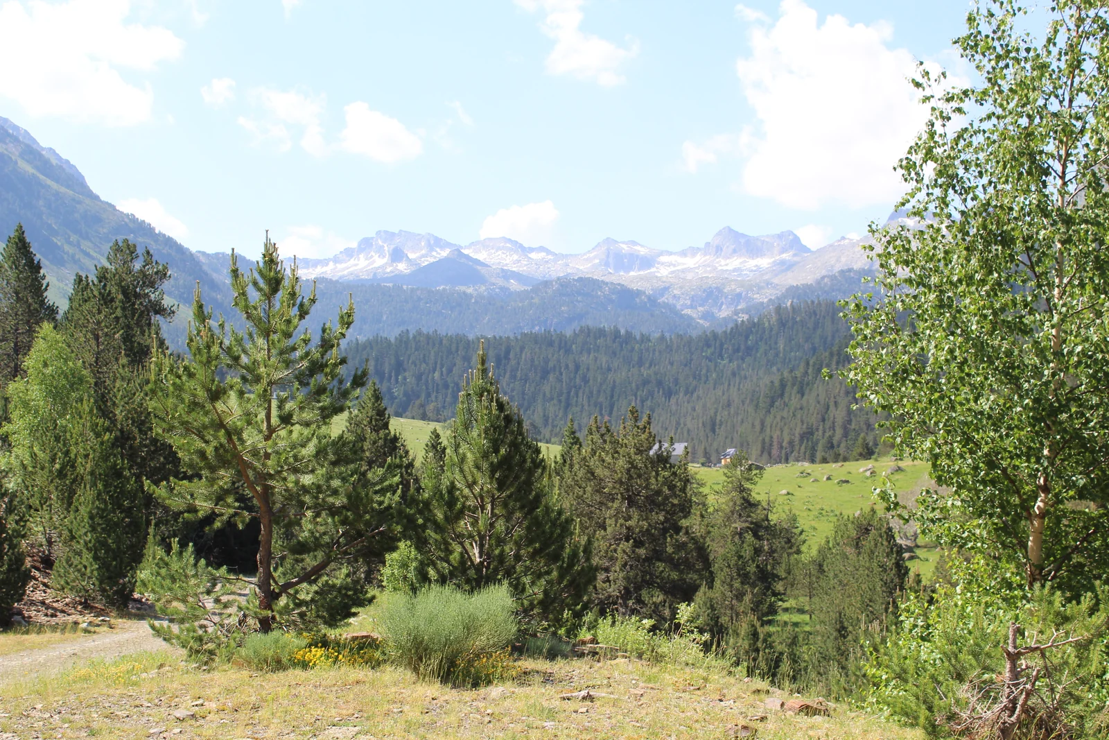
      The climb offers glimpses of the Colomèrs peaks. Through the trees, the path offers views towards the heights of Colomèrs. Pines and firs accompany a climb worth taking time to pause and enjoy. Check the route and permitted uses before setting out on foot or by bike.

      View towards Colomèrs through trees from the path climbing to PoreraRepresentative photograph of the surroundings; it may not show this exact spot.
      Porera forest

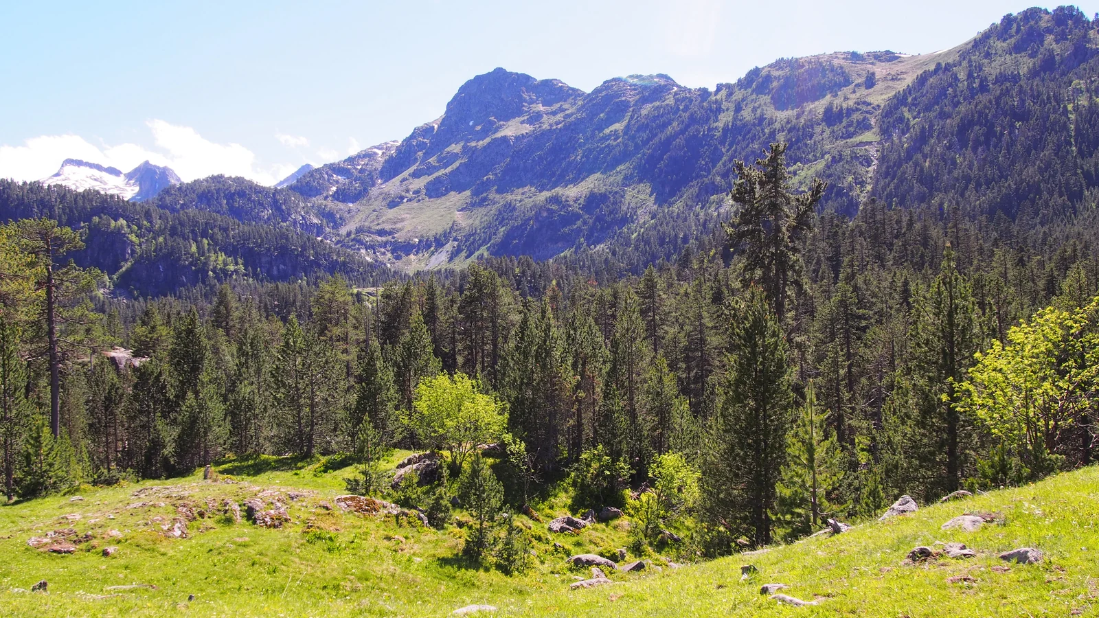
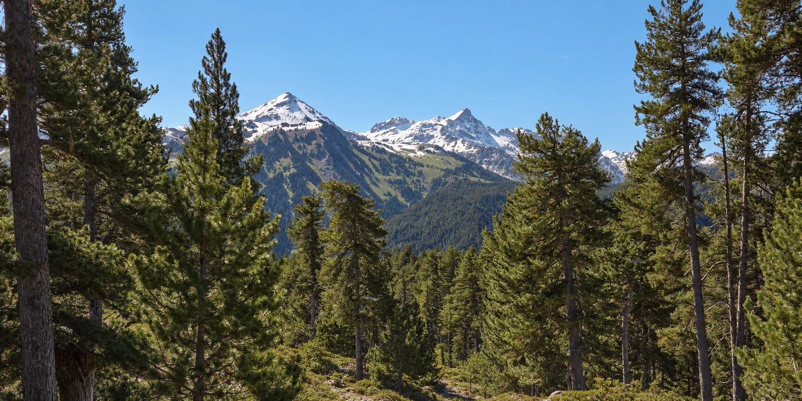
      Salana and Montarto appear between the pines. Porera forest combines the closeness of trees with views of the peaks. Light shifts between clearings and branches: a place to explore slowly, respecting its quiet.

      Porera forest pines with snowy Salana and Montarto peaks in springRepresentative photograph of the surroundings; it may not show this exact spot.
      Porera viewpoint

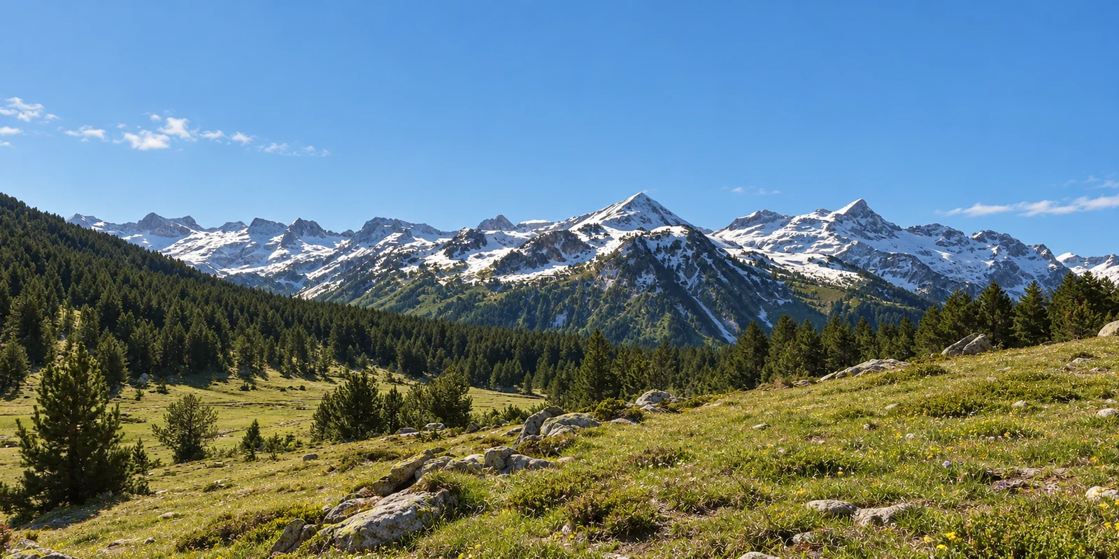
      Salana and Montarto open into view beyond the forest. The viewpoint overlooks the range and offers a different perspective on the valley. Include the stop in your Porera outing and allow time to take in the peaks and return.

      Spring view from Porera towards Salana and Montarto, with snow on the peaksRepresentative photograph of the surroundings; it may not show this exact spot.

      Illustrated map to help you recognise the landscape. Positions are approximate and altitudes refer to marked points; plan outings with suitable maps and current information.

      05 / TREKKINGS · LONG-DISTANCE ROUTESBanhs, a stage along the way

      MULTI-DAY TREKS · CARROS DE FOC AND VÍA CALDA

      Some journeys continue tomorrow.

      If you want to spend several days in the mountains, Banhs can also be a stage of your journey. Discover Carros de Foc and Vía Calda with Andando sin Equipaje, a long-standing partner of Banhs de Tredòs.

      Colomèrs lakes and mountains along a high-mountain trek01 / HIGH MOUNTAINS

      CARROS DE FOC CONFORT · AIGÜESTORTES

      From lake to lake, stage by stage.

      Lakes, passes and refuges connect several days in Aigüestortes i Estany de Sant Maurici. Andando sin Equipaje's Carros de Foc Confort programme includes Banhs de Tredòs and explores Colomèrs as part of a longer journey.

      Discover Carros de Foc At Andando sin Equipaje · programme and terms
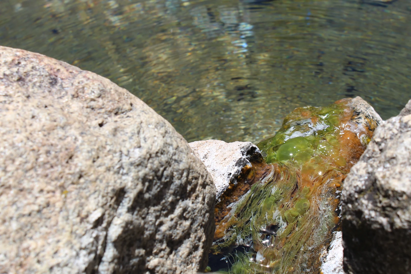
      Water flowing between rocks in Banhs de Tredòs02 / PATHS AND HERITAGE

      VÍA CALDA · VALL DE BOÍ AND VAL D’ARAN

      Paths with a thermal heritage.

      Between Vall de Boí and Val d’Aran, Vía Calda links mountain paths, villages and thermal traditions. In Andando sin Equipaje's programme, one stage connects Banhs de Tredòs with Vielha via Porera: another way to discover the valley's landscape and history.

      Discover Vía Calda At Andando sin Equipaje · programme and terms

      Stages, dates, services and terms may change. Check current details directly with Andando sin Equipaje.

      06 / GETTING HEREOne valley · two seasons

      GETTING TO BANHS DE TREDÒS · SUMMER AND WINTER

      Getting here is also part of the journey.

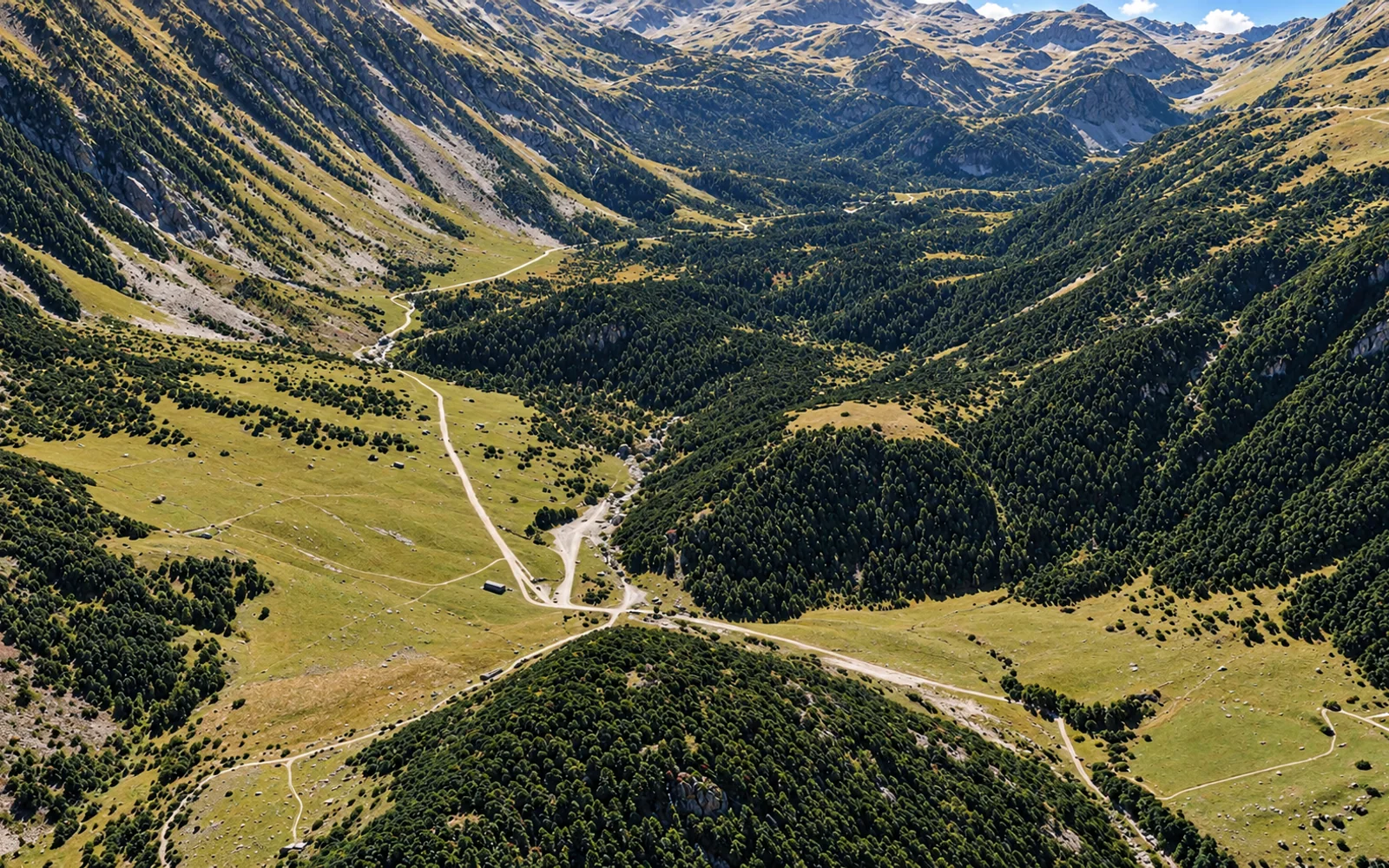
      From Tredòs, the Aiguamòg valley track leads to Pla des Banhs. In summer and winter, the same approach needs different plans: check how far you can drive before setting out.

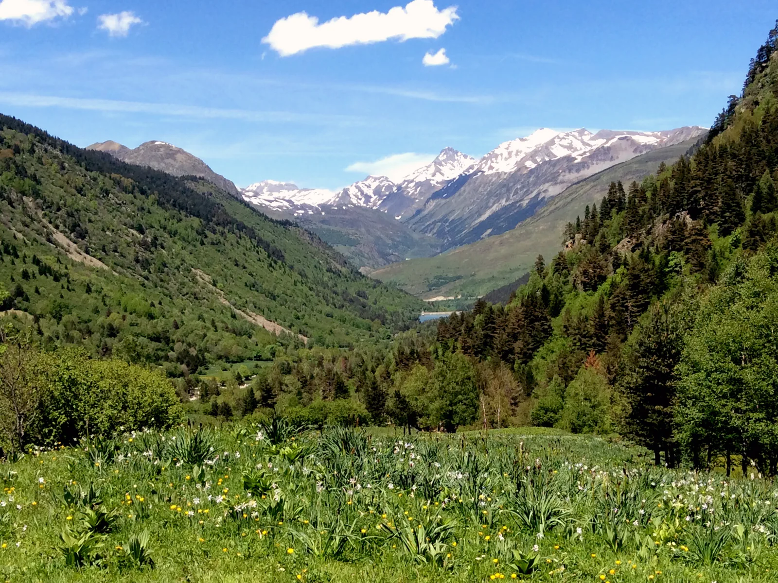
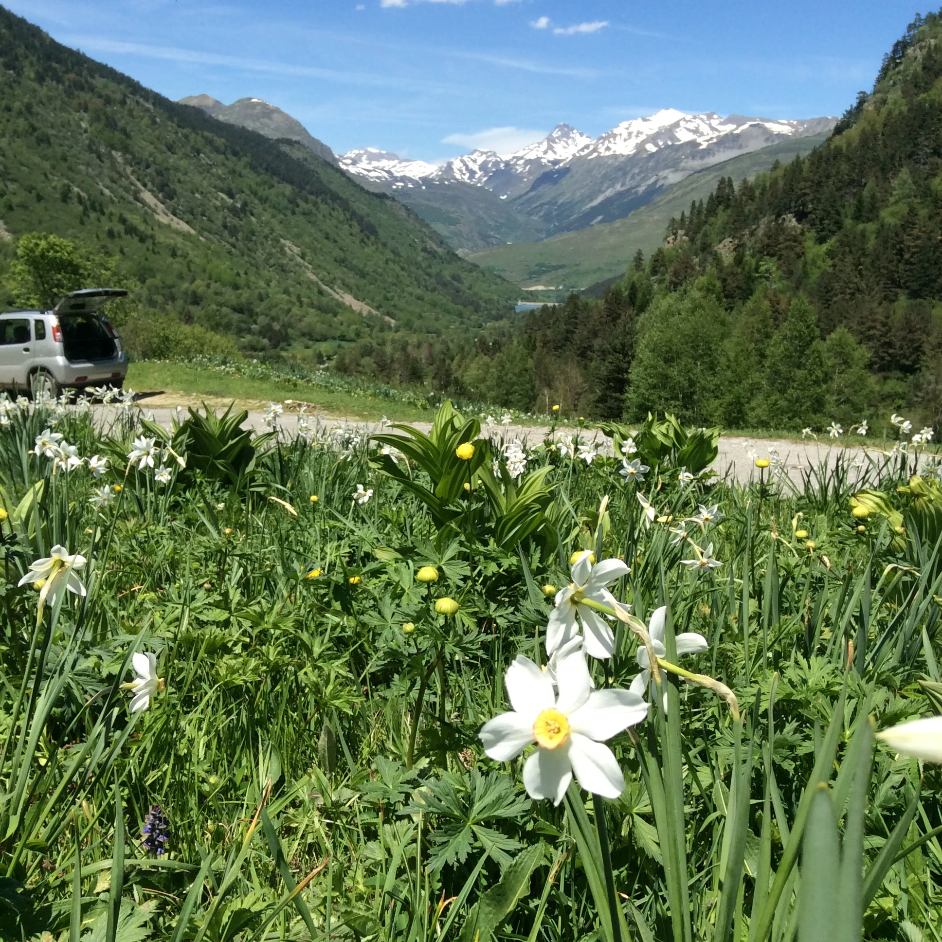
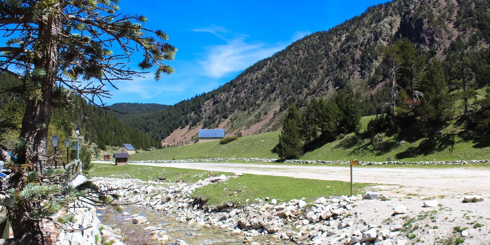
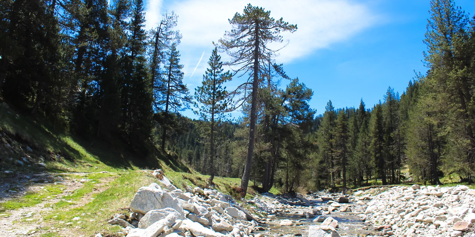
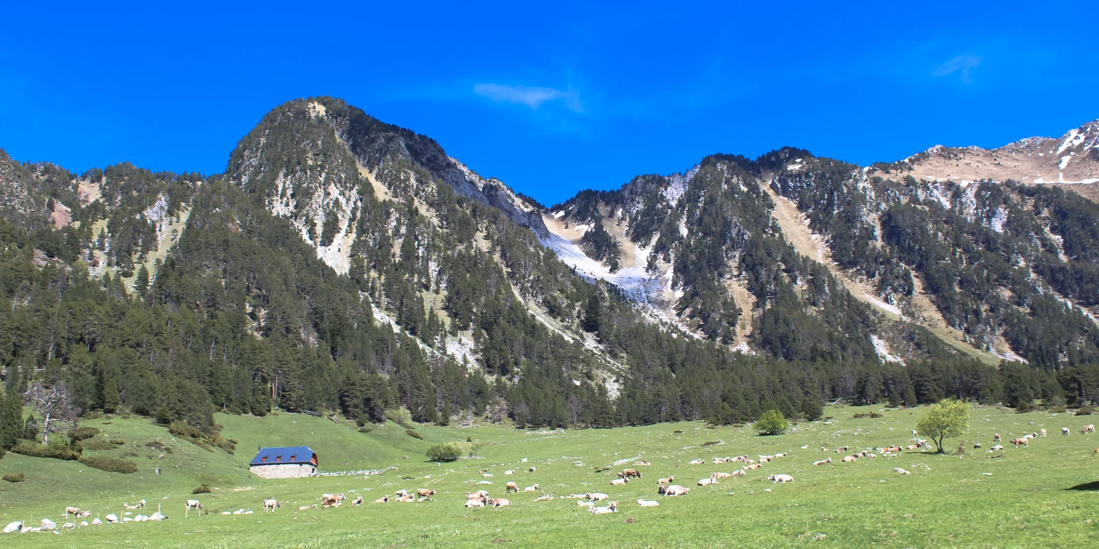
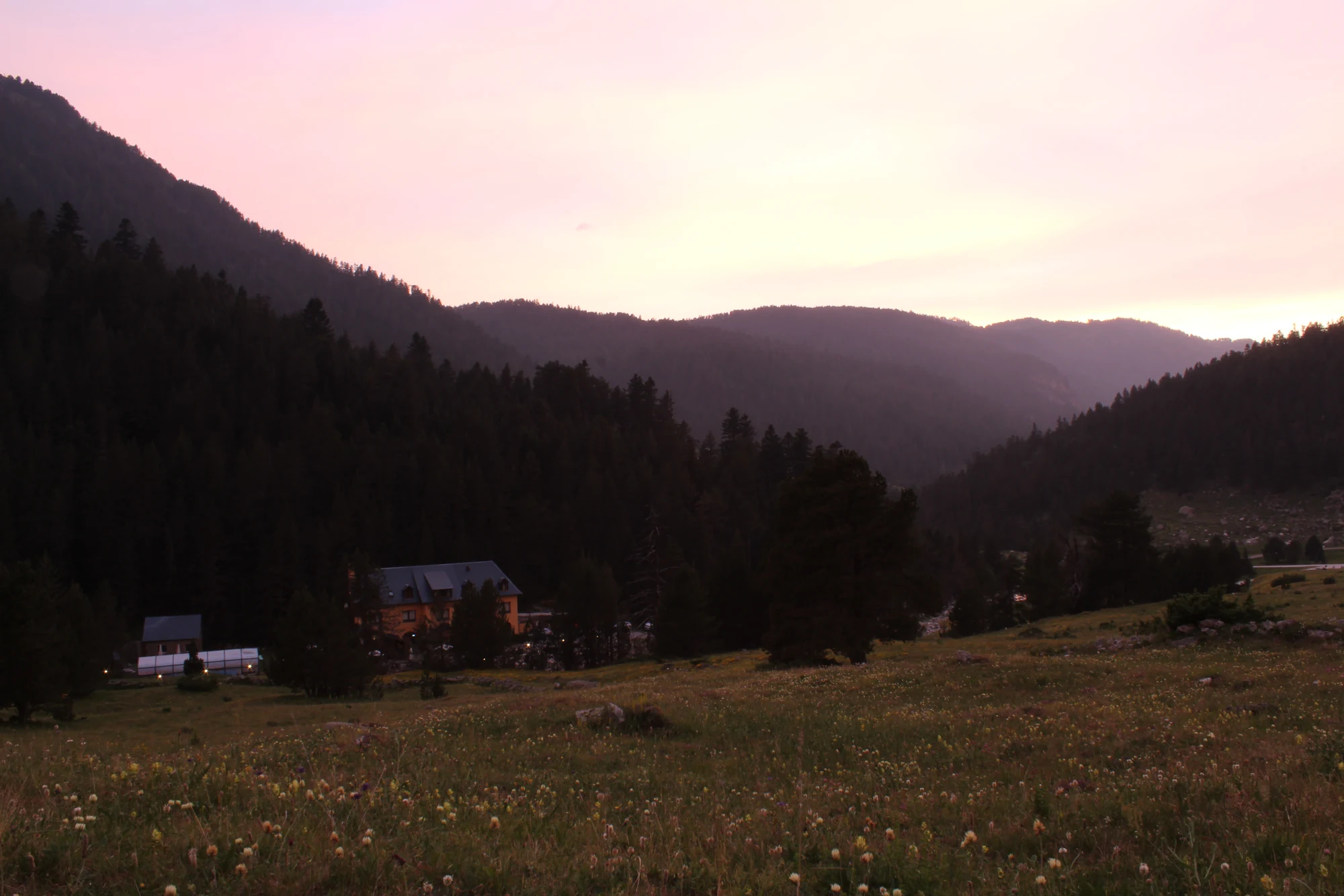
      Meadows, forest and mountains in the Aiguamòg valley in spring

      01 / SUMMER ACCESS TO BANHS

      The valley unfolds path by path.

      From 21 June, leave your car at the Banhs de Tredòs car park: private vehicles cannot continue further uphill. From Pla des Banhs, walk or take the taxi towards Colomèrs beside the tourist information hut and barrier.

      Check the taxi to Colomèrs
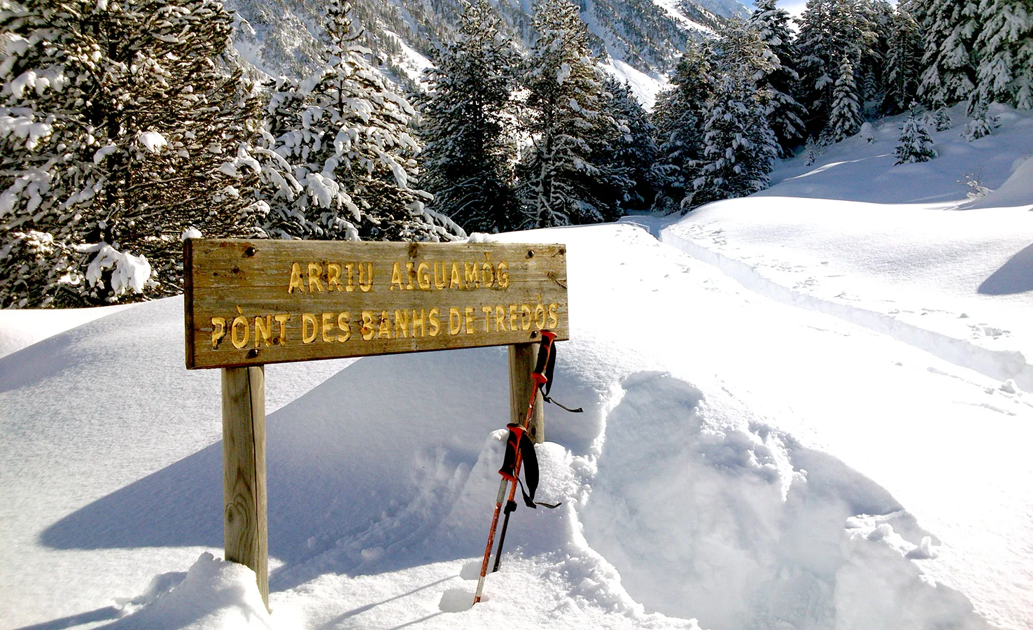
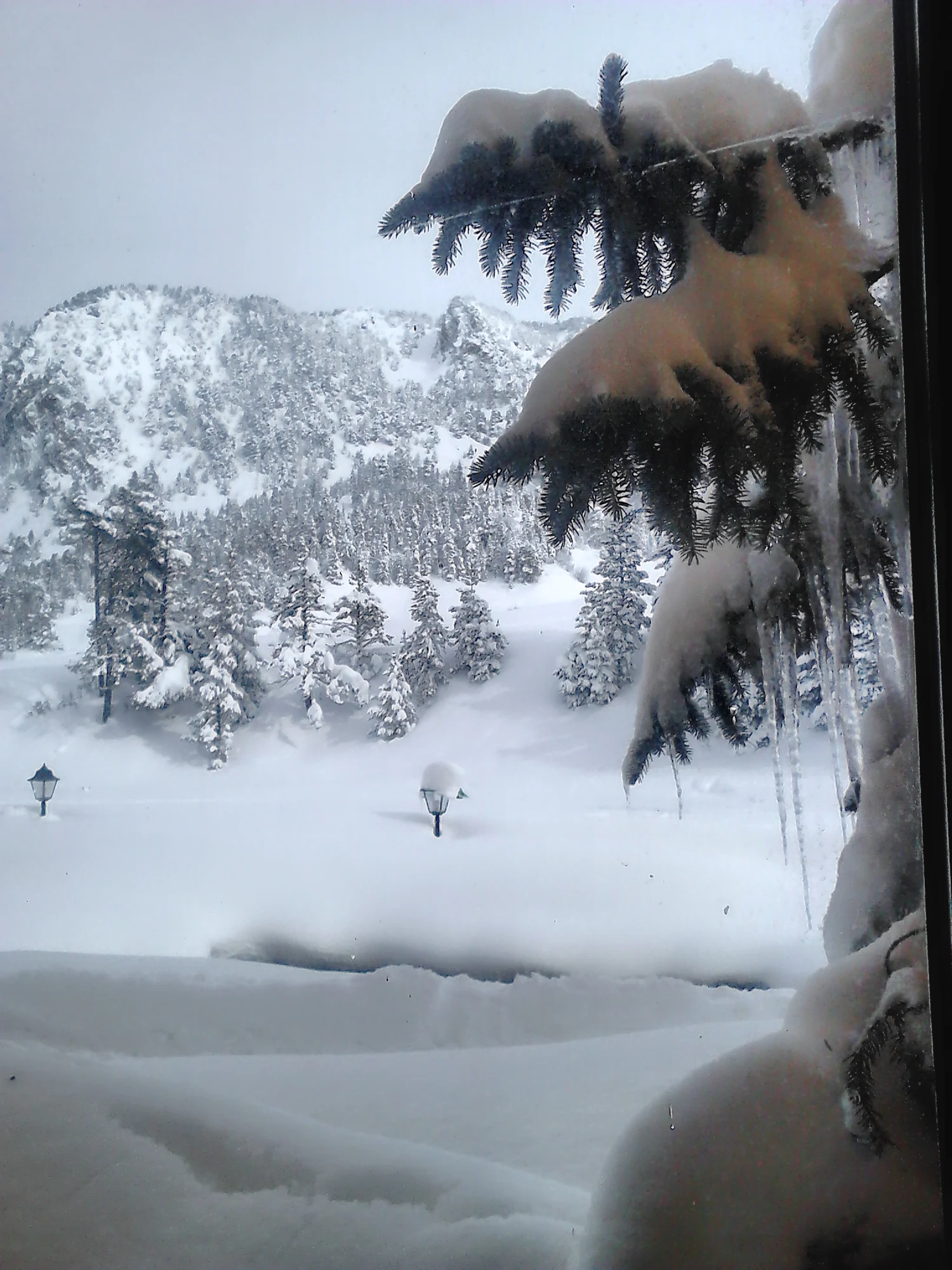
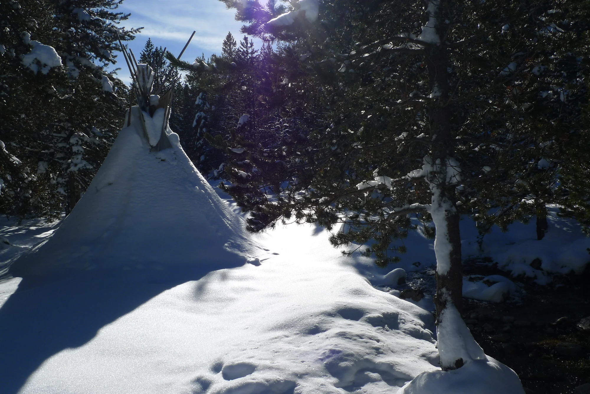
      Snow-covered path among trees in the Aiguamòg valley

      02 / WINTER ACCESS TO BANHS

      Snow changes the approach.

      In winter, private cars cannot pass the Aiguamòg valley barrier, below Pla des Banhs. Find it at point 3 on the Aiguamòg riverside map. Prepare your outing from there and check snow and weather before continuing.

      View the access limit on the map

      In summer, the private-car access limit is at Banhs from 21 June. In winter, it is at the Aiguamòg valley barrier. Check track conditions before travelling.

      TAXI COLOMÈRSSeasonal access and operating hours
      THE NEXT STRETCH

      Towards the landscapes of Colomèrs.

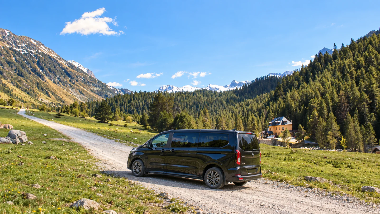
      Editorial composition of an AranDrive vehicle beside the Banhs de Tredòs track
      ARANDRIVE · BANHS TRACK

      TAXI COLOMÈRS · DEPARTING FROM BANHS DE TREDÒS

      Closer to the lakes, from 9:30.

      The taxi takes you from Pla des Banhs to the Colomèrs trailhead. It operates from 9:30 to 18:00, with 4x4 vehicles making uphill and downhill journeys. Each one-way journey costs €6 per person. From the drop-off point, continue to the lakes on foot.

      Check transport with AranDrive

      Taxi Colomèrs operating hours

      Pickup is at the taxi car park beside the tourist information hut and barrier. Confirm operating days and the last return journey before organising your hike.

      Pickup point
      Taxi car park · beside the tourist information hut and barrier
      Operating hours
      9:30–18:00 · uphill and downhill journeys
      Price per person
      €6 per one-way journey
      Confirm operating days and the last downhill journey. The stated hours do not imply a fixed departure frequency.
      07 / BEFORE YOU SET OUTA way of being in the mountains

      VISITING BANHS DE TREDÒS WITH RESPECT FOR NATURE

      Let the landscape keep speaking for itself.

      01

      Walk with care

      Follow designated paths and adapt your plan to the day's conditions.

      02

      Give wildlife space

      Observe animals and plants from a distance, without disturbing their surroundings.

      03

      What you bring up, take back down

      There are no bins or waste collection services in the valley. Keep all your rubbish and take it down to the village bins.

      04

      Share the quiet

      Silence is part of experiencing this valley.

      FREQUENTLY ASKED QUESTIONS

      FREQUENTLY ASKED QUESTIONS ABOUT BANHS DE TREDÒS

      Adventure starts with finding your bearings.

      Check the day's conditions, choose a suitable route and leave time to enjoy the landscape without rushing.

      Where should I start planning my visit?

      Choose what appeals to you: walking, cycling, lakes or snow. Check current conditions and access, then plan a route suited to your experience and available time. The map locates places; the route cards help you choose an outing.

      How far can I drive my own car?

      From 21 June, leave your car at the Banhs de Tredòs car park; private vehicles cannot continue further uphill. In winter, the limit is the Aiguamòg valley barrier, point 3 on the riverside map, before Pla des Banhs. Check track conditions before travelling.

      Where do I take Taxi Colomèrs and when does it run?

      At the Pla des Banhs taxi car park, beside the tourist information hut and barrier. It runs from 9:30 to 18:00, with uphill and downhill journeys. The stated price is €6 per person per one-way journey. Confirm operating days and the last return before setting out.

      Can I use this guide as a navigation map?

      The illustrated map helps you recognise the landscape and locate points of interest. To follow a route, use navigation maps, check current notices and follow signs on the ground.

      Can I cycle everywhere in the area?

      Each path has its own conditions and permitted uses. Choose authorised MTB or e-bike routes, check the rules and adapt the outing to your experience. Respect walkers on shared sections.

      How should I prepare a winter outing?

      Explore with snowshoes or touring skis when conditions and the route allow. Check access, snow and weather, and choose an outing suited to your experience. Confirm organised outings with local professionals.
      Where can I dispose of rubbish?

      There are no bins or waste collection in the valley. What you bring up, take back down: keep all your rubbish, including food scraps, and take it to the village bins.